Pedra Branca — Bela Cruz
Pedra Branca — Timburi
Pedra Branca — Franco da Rocha
Pedra Branca — Cabeludo
Pedra Branca — Blumenau
Pedra Branca — Ferros
Pedra Branca — Canitar
Pedra Branca — Guareí
Pedra Branca — Itamonte
Pedra Branca — São Miguel do Iguaçu
Pedra Branca — Rodelas
Pedra Branca — Diamantina
Pedra Branca — Brazil
Pedra Branca — Pouso Redondo
Pedra Branca — Marialva
Pedra Branca — Chuí
Pedra Branca — Timon
Pedra Branca — Minas Gerais
Pedra Branca — Uruguayana
Acopiara
Iguatu
Icó
Pendência
Barro
Milagres
Brejo Santo
Jati
Salgueiro
Euclides da Cunha
Tucano
Araci
Teofilândia
Serrinha
Santa Bárbara
Feira de Santana
Estaleiro
Estrada das Barreiras
Itaigara
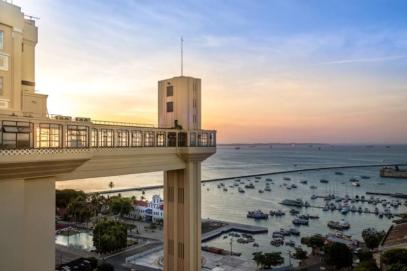
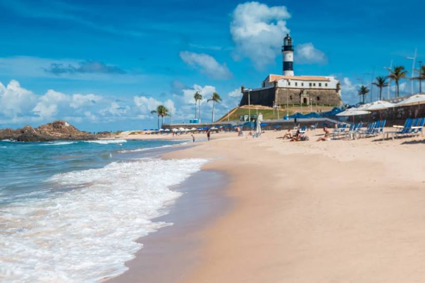
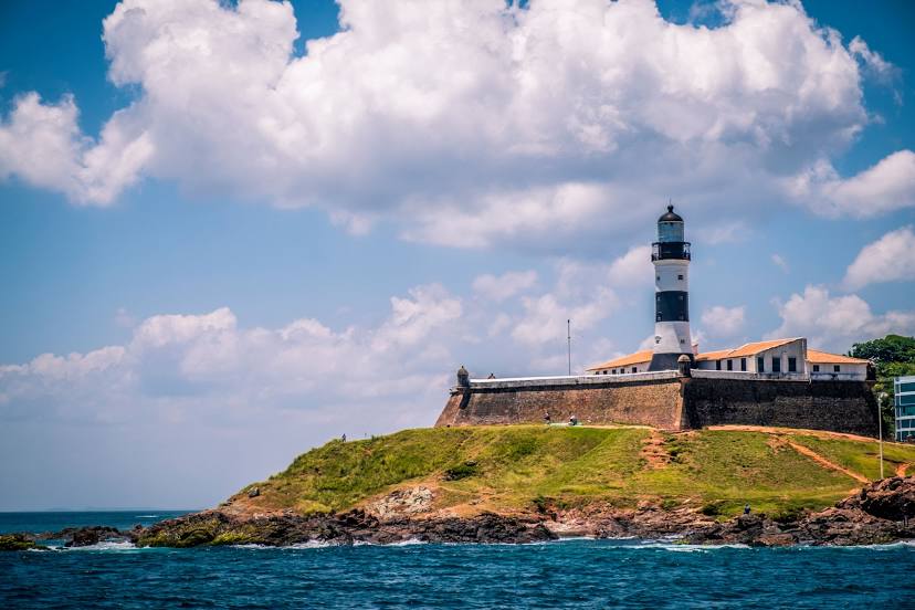
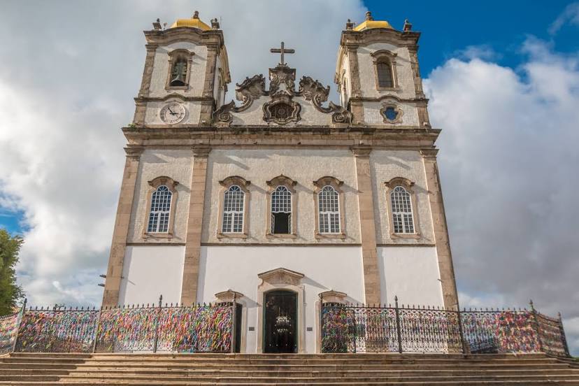
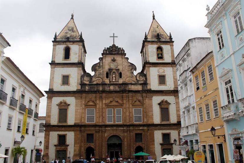
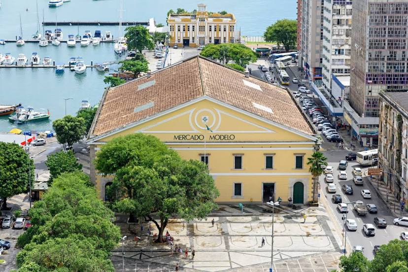
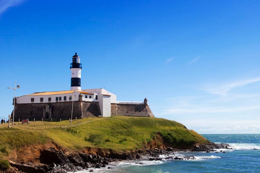
Salvador
Pedra Branca — Bela Cruz
Pedra Branca — Timburi
Pedra Branca — Franco da Rocha
Pedra Branca — Cabeludo
Pedra Branca — Blumenau
Pedra Branca — Ferros
Pedra Branca — Canitar
Pedra Branca — Guareí
Pedra Branca — Itamonte
Pedra Branca — São Miguel do Iguaçu
Pedra Branca — Rodelas
Pedra Branca — Diamantina
Pedra Branca — Brazil
Pedra Branca — Pouso Redondo
Pedra Branca — Marialva
Pedra Branca — Chuí
Pedra Branca — Timon
Pedra Branca — Minas Gerais
Pedra Branca — Uruguayana
Acopiara
Iguatu
Icó
Pendência
Barro
Milagres
Brejo Santo
Jati
Salgueiro
Euclides da Cunha
Tucano
Araci
Teofilândia
Serrinha
Santa Bárbara
Feira de Santana
Estaleiro
Estrada das Barreiras
Itaigara
Salvador
Pedra Branca — Salvador distance, route on the map
Distance by car
Distance between Pedra Branca, Ceará, Brazil and Salvador, State of Bahia, Brazil by car is — km, or miles. To travel this distance by car, you need minute, or h.
Route on the map, driving directions
Car route Pedra Branca — Salvador was created automatically. The road on the map is shown as a blue line. By moving the markers, you can create a new route through the points you need.
Passing cities through which the car route passes: Mombaça, Acopiara, Iguatu, Icó, Pendência, Barro, Milagres, Brejo Santo, Jati, Salgueiro, Euclides da Cunha, Tucano, Araci, Teofilândia, Serrinha, Santa Bárbara, Feira de Santana, Estaleiro, Estrada das Barreiras, Itaigara, Salvador.
Distance by plane
If you decide to take a trip Pedra Branca Salvador by plane, then you have to fly the distance — 847 km or 525 miles. It is marked on the map with a gray line (between two points in a straight line).
Flight time
Estimated flight time Pedra Branca Salvador by plane at cruising speed 750 km / h will be — 1 h. and 7 min.
Direction of movement
Brazil, Pedra Branca — right-hand traffic. Brazil, Salvador — right-hand traffic.
Difference in time
Pedra Branca and Salvador are in the same time zone. Between them there is no time difference (UTC -3 America/Fortaleza).
Interesting Facts
Information on alternative ways to get to your destination.
The length of this distance is about 2.1% of the total length of the equator.
The percentage of the population is clearly shown in the graph:
Pedra Branca — 20,072 (less by 2,691,831), Salvador — 2,711,903 residents.
The cost of travel
Calculate the cost of the trip yourself using the fuel consumption calculator, changing the data in the table.