
 Maureville
Samoëns
Gréning
Toulouse
Volx
Goudet
Méhoncourt
Saint-Hymer
Pontcarré
Maureville
Samoëns
Gréning
Toulouse
Volx
Goudet
Méhoncourt
Saint-Hymer
Pontcarré
Forêt domaniale de Meudon on the map, Ville-d'Avray, France
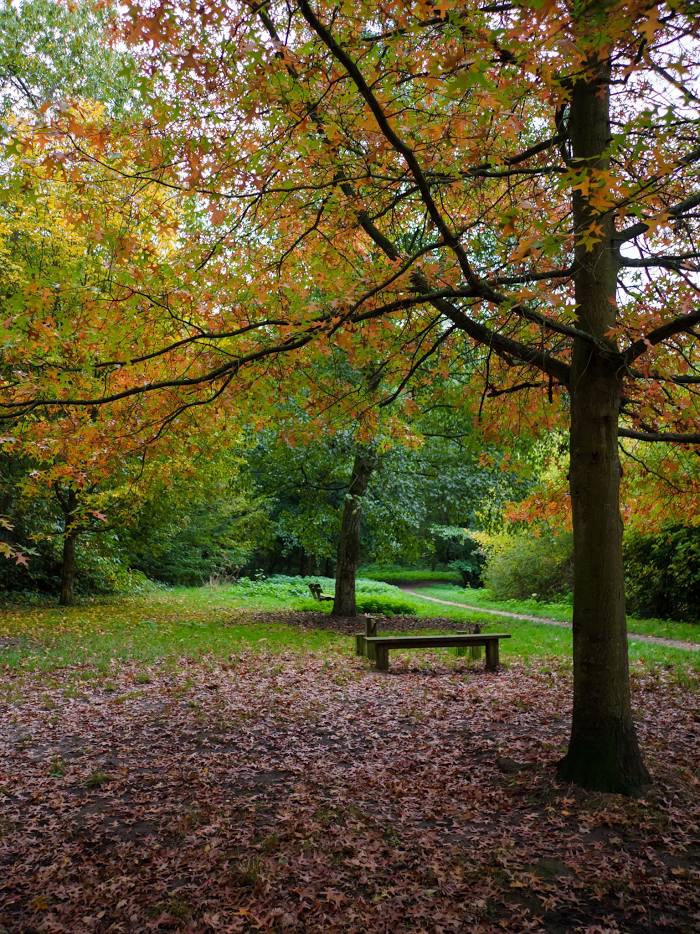
Photo
Where is located Forêt domaniale de Meudon
Forêt domaniale de Meudon — local attraction, which is located at France and belongs to the category — national forest. Average visitor rating for this place — 4.4 (according to 4347 ratings, information from open sources and relevant for 2022).
Exact location — Forêt domaniale de Meudon, marked on the map with a red marker.
You can get directions to Forêt domaniale de Meudon on the map from your location.
What else is interesting in Ville-d'Avray? You can see all the sights if you go to the city page.
Coordinates
Forêt domaniale de Meudon, France coordinates in decimal format: latitude — 48.81196819412494, longitude — 2.179205561931165. When converted to degrees, minutes, seconds Forêt domaniale de Meudon has the following coordinates: 48°48′43.09 north latitude and 2°10′45.14 east longitude.
Nearby cities
The largest cities that are located nearby:
- Boulogne-Billancourt — 4 km
- Rouen — 104 km
- Orléans — 104 km
- Amiens — 118 km
- Reims — 141 km
- Le Havre — 167 km
- Le Mans — 173 km
- Caen — 189 km
- Tours — 194 km
- Lille — 208 km
- Charleroi
 (Belgium) — 236 km
 - Eastbourne
 (United Kingdom) — 252 km
 - Angers — 254 km
- Namur (Belgium) — 262 km
- Brussels (Belgium) — 270 km
- Dijon — 271 km
- Metz — 290 km
- Nancy — 292 km
- Rennes — 296 km
Distance to the capital
Distance to the capital (Paris) is about — 14 km.