Santa Rosa de Lima — Capão Alto
Santa Rosa de Lima — Maracajá
Santa Rosa de Lima — Itaara
Santa Rosa de Lima — Natividade
Santa Rosa de Lima — State of Amazonas
Santa Rosa de Lima — Mogi das Cruzes
Santa Rosa de Lima — Formoso
Santa Rosa de Lima — Palmital
Santa Rosa de Lima — Morungaba
Santa Rosa de Lima — Brotas
Santa Rosa de Lima — Camamu
Santa Rosa de Lima — Benjamin Constant
Santa Rosa de Lima — Pedra Bela
Santa Rosa de Lima — Santana de Cataguases
Santa Rosa de Lima — Carquêja
Santa Rosa de Lima — Felipe Guerra
Santa Rosa de Lima — Morro do Pilar
Santa Rosa de Lima — Hermenegildo
Santa Rosa de Lima — Caatinga
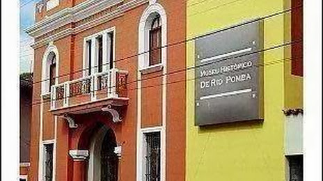
Santa Rosa de Lima — Rio Pomba distance, route on the map
Distance by car
Distance between Santa Rosa de Lima, Sergipe, Brazil and Rio Pomba, Minas Gerais, Brazil by car is — km, or miles. To travel this distance by car, you need minute, or h.
Route on the map, driving directions
Car route Santa Rosa de Lima — Rio Pomba was created automatically. The road on the map is shown as a blue line. By moving the markers, you can create a new route through the points you need.
Distance by plane
If you decide to take a trip Santa Rosa de Lima Rio Pomba by plane, then you have to fly the distance — 1344 km or 833 miles. It is marked on the map with a gray line (between two points in a straight line).
Flight time
Estimated flight time Santa Rosa de Lima Rio Pomba by plane at cruising speed 750 km / h will be — 1 h. and 47 min.
Direction of movement
Brazil, Santa Rosa de Lima — right-hand traffic. Brazil, Rio Pomba — right-hand traffic.
Difference in time
Santa Rosa de Lima and Rio Pomba are in the same time zone. Between them there is no time difference (UTC -3 America/Fortaleza).
Interesting Facts
Information on alternative ways to get to your destination.
The length of this distance is about 3.4% of the total length of the equator.
The percentage of the population is clearly shown in the graph:
Santa Rosa de Lima — 3,341 (less by 10,366), Rio Pomba — 13,707 residents.
The cost of travel
Calculate the cost of the trip yourself using the fuel consumption calculator, changing the data in the table.