

Cathédrale Saint-Sauveur on the map, Cayenne, French Guiana
Photo
Where is located Cathédrale Saint-Sauveur
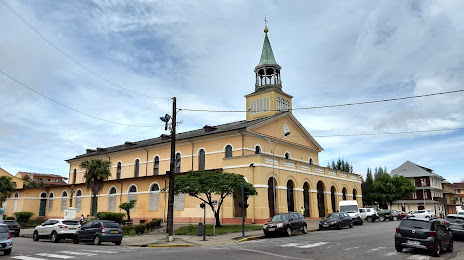
Cathédrale Saint-Sauveur — local attraction, which is located at WMQ9+W9M, Cayenne 97300, French Guiana and belongs to the category — cathedral. Average visitor rating for this place — 4.3 (according to 147 ratings, information from open sources and relevant for 2022).
Exact location — Cathédrale Saint-Sauveur, marked on the map with a red marker.
You can get directions to Cathédrale Saint-Sauveur on the map from your location.
What else is interesting in Cayenne? You can see all the sights if you go to the city page.
Coordinates
Cathédrale Saint-Sauveur, French Guiana coordinates in decimal format: latitude — 4.93979009597785, longitude — -52.33163667568736. When converted to degrees, minutes, seconds Cathédrale Saint-Sauveur has the following coordinates: 4°56′23.24 north latitude and -52°19′53.89 east longitude.
Nearby cities
The largest cities that are located nearby:
- Paramaribo
 (Suriname) — 333 km
 - Macapá
 (Brazil) — 558 km
 - Georgetown
 (Guyana) — 674 km
 - Ananindeua (Brazil) — 821 km
- Belém (Brazil) — 823 km
- Castanhal (Brazil) — 843 km
- Santarém (Brazil) — 856 km
- Boa Vista (Brazil) — 951 km
- Valencia
 (Trinidad and Tobago) — 1153 km
 - Marabá (Brazil) — 1192 km
- São Luís (Brazil) — 1212 km
- Manaus (Brazil) — 1230 km
- Imperatriz (Brazil) — 1272 km
- Ciudad Bolivar
 (Venezuela) — 1278 km
 - Maturin (Venezuela) — 1298 km
- Carupano (Venezuela) — 1345 km
- El Tigre (Venezuela) — 1372 km
- Araguaína (Brazil) — 1414 km
- Anaco (Venezuela) — 1415 km