

Habitation Vidal on the map, Cayenne, French Guiana
Photo
Where is located Habitation Vidal
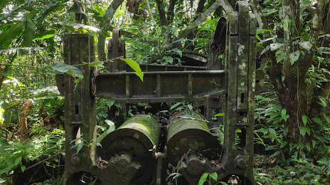
Habitation Vidal — local attraction, which is located at VP83+JQ3, Remire-Montjoly, French Guiana and belongs to the category — historical landmark. Average visitor rating for this place — 4.5 (according to 2 ratings, information from open sources and relevant for 2022).
Exact location — Habitation Vidal, marked on the map with a red marker.
You can get directions to Habitation Vidal on the map from your location.
What else is interesting in Cayenne? You can see all the sights if you go to the city page.
Coordinates
Habitation Vidal, French Guiana coordinates in decimal format: latitude — 4.8664718907500415, longitude — -52.295651575687415. When converted to degrees, minutes, seconds Habitation Vidal has the following coordinates: 4°51′59.3 north latitude and -52°17′44.35 east longitude.
Nearby cities
The largest cities that are located nearby:
- Paramaribo
 (Suriname) — 333 km
 - Macapá
 (Brazil) — 558 km
 - Georgetown
 (Guyana) — 674 km
 - Ananindeua (Brazil) — 821 km
- Belém (Brazil) — 823 km
- Castanhal (Brazil) — 843 km
- Santarém (Brazil) — 856 km
- Boa Vista (Brazil) — 951 km
- Valencia
 (Trinidad and Tobago) — 1153 km
 - Marabá (Brazil) — 1192 km
- São Luís (Brazil) — 1212 km
- Manaus (Brazil) — 1230 km
- Imperatriz (Brazil) — 1272 km
- Ciudad Bolivar
 (Venezuela) — 1278 km
 - Maturin (Venezuela) — 1298 km
- Carupano (Venezuela) — 1345 km
- El Tigre (Venezuela) — 1372 km
- Araguaína (Brazil) — 1414 km
- Anaco (Venezuela) — 1415 km