
 Aguadilla Pueblo
Naranjo
Cruces
Guanábano
Marías
Portillo
Camuy
Sabana Llana Norte
Aguadilla Pueblo
Aguadilla Pueblo
Naranjo
Cruces
Guanábano
Marías
Portillo
Camuy
Sabana Llana Norte
Faro del Castillo San Felipe del Morro on the map, Saint John, Puerto Rico
Photo
Where is located Faro del Castillo San Felipe del Morro
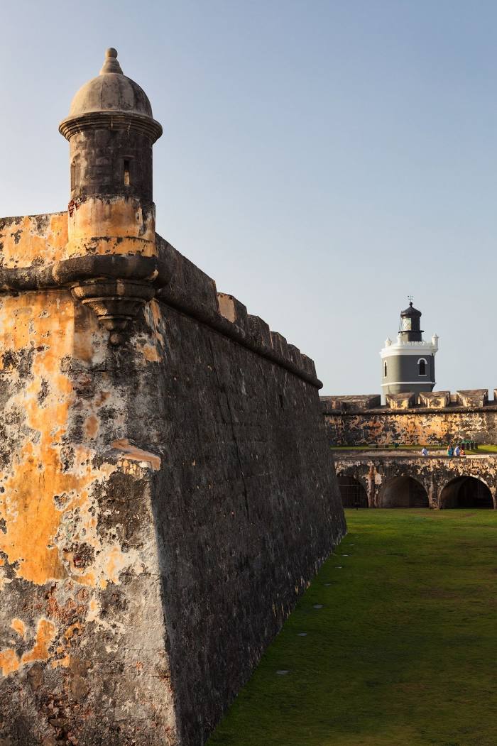
Faro del Castillo San Felipe del Morro — local attraction, which is located at FVCG+CH2, San Juan, 00926, Puerto Rico and belongs to the category — lighthouse. Average visitor rating for this place — 5.0 (according to 37 ratings, information from open sources and relevant for 2022).
Exact location — Faro del Castillo San Felipe del Morro, marked on the map with a red marker.
You can get directions to Faro del Castillo San Felipe del Morro on the map from your location.
What else is interesting in Saint John? You can see all the sights if you go to the city page.
Coordinates
Faro del Castillo San Felipe del Morro, Puerto Rico coordinates in decimal format: latitude — 18.470970194848338, longitude — -66.12367867555862. When converted to degrees, minutes, seconds Faro del Castillo San Felipe del Morro has the following coordinates: 18°28′15.49 north latitude and -66°7′25.24 east longitude.
Nearby cities
The largest cities that are located nearby:
- Bayamón — 12 km
- Carolina — 18 km
- Ponce — 73 km
- Punta Cana
 (Dominican Republic) — 241 km
 - La Romana (Dominican Republic) — 300 km
- San Pedro de Macoris (Dominican Republic) — 335 km
- Santo Domingo (Dominican Republic) — 403 km
- San Cristobal (Dominican Republic) — 419 km
- San Francisco de Macoris (Dominican Republic) — 442 km
- La Vega (Dominican Republic) — 469 km
- Santiago De Los Caballeros (Dominican Republic) — 492 km
- Puerto Plata (Dominican Republic) — 498 km
- Cap-Haitien
 (Haiti) — 650 km
 - Port-au-Prince (Haiti) — 653 km
- Carrefour (Haiti) — 661 km
- Léogâne (Haiti) — 683 km
- Setpoint
 (Venezuela) — 867 km
 - Coro (Venezuela) — 873 km
- Catia La Mar (Venezuela) — 877 km