
 Belém
Maranguape
Paranaguá
Paranaguá
Monte Alegre
Alvorada de Minas
Bragança
Laguna
Ibiporã
Belém
Maranguape
Paranaguá
Paranaguá
Monte Alegre
Alvorada de Minas
Bragança
Laguna
Ibiporã
Parque das Aves Bosque Municipal on the map, Apucarana, Brazil
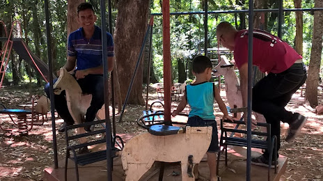
Photo
Where is located Parque das Aves Bosque Municipal
Parque das Aves Bosque Municipal — local attraction, which is located at R. João Antônio Braga Cortês, 523 - Jardim Sao Pedro, Apucarana - PR, 86809-050, Brazil and belongs to the category — park. Average visitor rating for this place — 4.0 (according to 143 ratings, information from open sources and relevant for 2022).
Exact location — Parque das Aves Bosque Municipal, marked on the map with a red marker.
You can get directions to Parque das Aves Bosque Municipal on the map from your location.
What else is interesting in Apucarana? You can see all the sights if you go to the city page.
Coordinates
Parque das Aves Bosque Municipal, Brazil coordinates in decimal format: latitude — -23.561710756559524, longitude — -51.45300947556727. When converted to degrees, minutes, seconds Parque das Aves Bosque Municipal has the following coordinates: -23°33′42.16 north latitude and -51°27′10.83 east longitude.
Nearby cities
The largest cities that are located nearby:
- Maringá — 50 km
- Assis — 145 km
- Presidente Prudente — 158 km
- Guarapuava — 203 km
- Marília — 214 km
- Cascavel — 253 km
- Birigui — 275 km
- Bauru — 281 km
- Colombo — 295 km
- Curitiba — 302 km
- Araucária — 305 km
- Pinhais — 309 km
- São José dos Pinhais — 314 km
- Botucatu — 316 km
- Itapetininga — 346 km
- Paranaguá — 365 km
- Catanduva — 370 km
- Dourados — 373 km
- Foz do Iguaçu — 380 km