Pomary — Istra
Pomary — Sloboda
Pomary — Vistino
Pomary — Kantyshevo
Pomary — Chkalovskiy
Pomary — Komsomol'skiy
Pomary — Praskoveevka
Pomary — Atkarsk
Pomary — Svetlogorsk
Pomary — Irba
Pomary — Andreevka
Pomary — Logovoy
Pomary — Ryazanskaya
Pomary — Mednogorsk
Pomary — Petushki
Pomary — Talpaki
Pomary — Borodaevka
Pomary — Pevek
Pomary — Linhammar
Shelanger
Kuzhmara
Kokshaysk
Novocheboksarsk
Sinyaly
Ustakasy
Kugesi
Dubrava
Vurmankasy
Shomikovo
Moskakasy
Nikolskoye
Vorotynets
Lyskovo
Bogomolovo
Veliky Vrag
Zeletsino
Sheloksha
Kremenki
Strigino Airport
Gavrilovka
Gorbatovka
Lazur'
Dzerzhinsk
Pyra
Yuganets
Smolino
Novosmolinsky
Mulino
Obyezd
Inzhenernyy
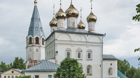
Gorokhovets
Malyye Luzhki
Pomary — Istra
Pomary — Sloboda
Pomary — Vistino
Pomary — Kantyshevo
Pomary — Chkalovskiy
Pomary — Komsomol'skiy
Pomary — Praskoveevka
Pomary — Atkarsk
Pomary — Svetlogorsk
Pomary — Irba
Pomary — Andreevka
Pomary — Logovoy
Pomary — Ryazanskaya
Pomary — Mednogorsk
Pomary — Petushki
Pomary — Talpaki
Pomary — Borodaevka
Pomary — Pevek
Pomary — Linhammar
Shelanger
Kuzhmara
Kokshaysk
Novocheboksarsk
Sinyaly
Ustakasy
Kugesi
Dubrava
Vurmankasy
Shomikovo
Moskakasy
Nikolskoye
Vorotynets
Lyskovo
Bogomolovo
Veliky Vrag
Zeletsino
Sheloksha
Kremenki
Strigino Airport
Gavrilovka
Gorbatovka
Lazur'
Dzerzhinsk
Pyra
Yuganets
Smolino
Novosmolinsky
Mulino
Obyezd
Inzhenernyy
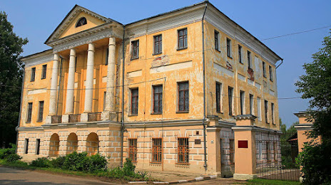
Gorokhovets
Malyye Luzhki
Pomary — Vyazniki distance, route on the map
Distance by car
Distance between Pomary, Respublika Mariy El, Russian Federation and Vyazniki, Vladimir Oblast, Russian Federation by car is — km, or miles. To travel this distance by car, you need minute, or h.
Route on the map, driving directions
Car route Pomary — Vyazniki was created automatically. The road on the map is shown as a blue line. By moving the markers, you can create a new route through the points you need.
Passing cities through which the car route passes: Krasnogorskiy, Shelanger, Kuzhmara, Kokshaysk, Novocheboksarsk, Sinyaly, Ustakasy, Kugesi, Dubrava, Vurmankasy, Shomikovo, Moskakasy, Nikolskoye, Vorotynets, Lyskovo, Bogomolovo, Veliky Vrag, Zeletsino, Sheloksha, Kremenki, Strigino Airport, Gavrilovka, Gorbatovka, Lazur', Dzerzhinsk, Pyra, Yuganets, Smolino, Novosmolinsky, Mulino, Obyezd, Inzhenernyy, Gorokhovets, Malyye Luzhki.
Distance by plane
If you decide to take a trip Pomary Vyazniki by plane, then you have to fly the distance — 385 km or 239 miles. It is marked on the map with a gray line (between two points in a straight line).
Flight time
Estimated flight time Pomary Vyazniki by plane at cruising speed 750 km / h will be — 30 min.
Direction of movement
Russian Federation, Pomary — right-hand traffic. Russian Federation, Vyazniki — right-hand traffic.
Difference in time
Pomary and Vyazniki are in the same time zone. Between them there is no time difference (UTC +3 Europe/Moscow).
Interesting Facts
Information on alternative ways to get to your destination.
The length of this distance is about 1.0% of the total length of the equator.
The percentage of the population is clearly shown in the graph:
Pomary — 1,500 (less by 37,744), Vyazniki — 39,244 residents.
The cost of travel
Calculate the cost of the trip yourself using the fuel consumption calculator, changing the data in the table.