
 Belém
Maranguape
Paranaguá
Paranaguá
Monte Alegre
Alvorada de Minas
Bragança
Laguna
Ibiporã
Belém
Maranguape
Paranaguá
Paranaguá
Monte Alegre
Alvorada de Minas
Bragança
Laguna
Ibiporã
Lake St. Bernard on the map, São Francisco de Paula, Brazil
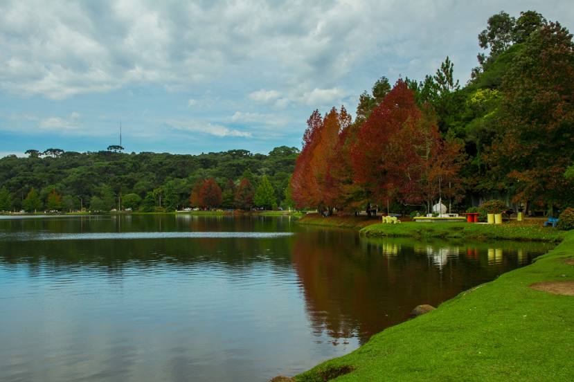
Photo
Where is located Lake St. Bernard
Lake St. Bernard — local attraction, which is located at São Francisco de Paula, State of Rio Grande do Sul, 95400-000, Brazil and belongs to the category — tourist attraction. Average visitor rating for this place — 4.8 (according to 4218 ratings, information from open sources and relevant for 2022).
Exact location — Lake St. Bernard, marked on the map with a red marker.
You can get directions to Lake St. Bernard on the map from your location.
What else is interesting in São Francisco de Paula? You can see all the sights if you go to the city page.
Coordinates
Lake St. Bernard, Brazil coordinates in decimal format: latitude — -29.454465121555543, longitude — -50.57332627534923. When converted to degrees, minutes, seconds Lake St. Bernard has the following coordinates: -29°27′16.07 north latitude and -50°34′23.97 east longitude.
Nearby cities
The largest cities that are located nearby:
- Novo Hamburgo — 59 km
- São Leopoldo — 64 km
- Caxias do Sul — 66 km
- Gravataí — 67 km
- Cachoeirinha — 75 km
- Canoas — 78 km
- Viamão — 82 km
- Porto Alegre — 89 km
- Guaíba — 102 km
- Criciúma — 145 km
- Santa Cruz do Sul — 181 km
- Lages — 182 km
- Passo Fundo — 221 km
- Palhoça — 273 km
- São José — 278 km
- Florianópolis — 286 km
- Pelotas — 305 km
- Santa Maria — 312 km
- Blumenau — 317 km