
 Belém
Maranguape
Paranaguá
Paranaguá
Monte Alegre
Alvorada de Minas
Bragança
Laguna
Ibiporã
Belém
Maranguape
Paranaguá
Paranaguá
Monte Alegre
Alvorada de Minas
Bragança
Laguna
Ibiporã
Ubajara National Park on the map, Ubajara, Brazil
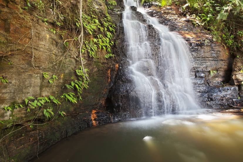
Photo
Where is located Ubajara National Park
Ubajara National Park — local attraction, which is located at Ubajara - State of Ceará, Brazil and belongs to the category — national park. Average visitor rating for this place — 4.7 (according to 3083 ratings, information from open sources and relevant for 2022).
Exact location — Ubajara National Park, marked on the map with a red marker.
You can get directions to Ubajara National Park on the map from your location.
What else is interesting in Ubajara? You can see all the sights if you go to the city page.
Coordinates
Ubajara National Park, Brazil coordinates in decimal format: latitude — -3.768648455777383, longitude — -40.90803360653812. When converted to degrees, minutes, seconds Ubajara National Park has the following coordinates: -3°46′7.13 north latitude and -40°54′28.92 east longitude.
Nearby cities
The largest cities that are located nearby:
- Parnaíba — 141 km
- Teresina — 248 km
- Caucaia — 250 km
- Timon — 251 km
- Maracanaú — 253 km
- Fortaleza — 264 km
- Caxias — 291 km
- São Luís — 399 km
- Juazeiro do Norte — 413 km
- Mossoro — 420 km
- Petrolina — 614 km
- Parnamirim — 662 km
- Natal — 664 km
- Campina Grande — 667 km
- Caruaru — 730 km
- Imperatriz — 744 km
- Santa Rita — 747 km
- João Pessoa — 758 km
- Camaragibe — 797 km