
 Belém
Maranguape
Paranaguá
Paranaguá
Monte Alegre
Alvorada de Minas
Bragança
Laguna
Ibiporã
Belém
Maranguape
Paranaguá
Paranaguá
Monte Alegre
Alvorada de Minas
Bragança
Laguna
Ibiporã
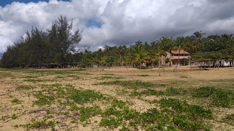
Praia De Iemanjá - Caravelas on the map, Caravelas, Brazil
Photo
Where is located Praia De Iemanjá - Caravelas
Praia De Iemanjá - Caravelas — local attraction, which is located at Unnamed Road, 45900-000, Caravelas - BA, Brazil and belongs to the category — tourist attraction. Average visitor rating for this place — 4.4 (according to 139 ratings, information from open sources and relevant for 2022).
Exact location — Praia De Iemanjá - Caravelas, marked on the map with a red marker.
You can get directions to Praia De Iemanjá - Caravelas on the map from your location.
What else is interesting in Caravelas? You can see all the sights if you go to the city page.
Coordinates
Praia De Iemanjá - Caravelas, Brazil coordinates in decimal format: latitude — -17.70282008144258, longitude — -39.14827307556972. When converted to degrees, minutes, seconds Praia De Iemanjá - Caravelas has the following coordinates: -17°42′10.15 north latitude and -39°8′53.78 east longitude.
Nearby cities
The largest cities that are located nearby:
- Porto Seguro — 144 km
- Linhares — 202 km
- Teófilo Otoni — 237 km
- Colatina — 246 km
- Serra — 285 km
- Cariacica — 304 km
- Valadares Governor — 308 km
- Vila Velha — 308 km
- Itabuna — 326 km
- Ilhéus — 326 km
- Guarapari — 349 km
- Vitória da Conquista — 360 km
- Cachoeiro de Itapemirim — 394 km
- Coronel Fabriciano — 402 km
- Jequié — 437 km
- Montes Claros — 499 km
- Sabará — 531 km
- Salvador — 533 km
- Santa Luzia — 537 km