 Pointe-à-la-Croix
Sainte-Irène, Quebec
Marsoui
Hecla
Muskrat Dam
Wunnummin Lake
Sainte-Brigitte-de-Laval
Drayton
Mauricie
Pointe-à-la-Croix
Sainte-Irène, Quebec
Marsoui
Hecla
Muskrat Dam
Wunnummin Lake
Sainte-Brigitte-de-Laval
Drayton
Mauricie
Francis/King Regional Park on the map, Oak Bay, Canada
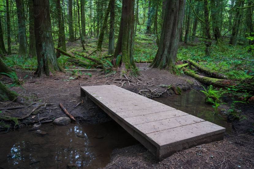
Photo
Where is located Francis/King Regional Park
Francis/King Regional Park — local attraction, which is located at Munn Rd, Saanich, BC V9E 1H7, Canada and belongs to the category — park. Average visitor rating for this place — 4.7 (according to 166 ratings, information from open sources and relevant for 2022).
Exact location — Francis/King Regional Park, marked on the map with a red marker.
You can get directions to Francis/King Regional Park on the map from your location.
What else is interesting in Oak Bay? You can see all the sights if you go to the city page.
Coordinates
Francis/King Regional Park, Canada coordinates in decimal format: latitude — 48.48566287907795, longitude — -123.44943487478933. When converted to degrees, minutes, seconds Francis/King Regional Park has the following coordinates: 48°29′8.39 north latitude and -123°26′57.97 east longitude.
Nearby cities
The largest cities that are located nearby:
- Victoria — 4 km
- Delta — 77 km
- Richmond — 83 km
- Surrey — 90 km
- Vancouver — 96 km
- Burnaby — 96 km
- Abbotsford — 100 km
- Coquitlam — 102 km
- Anmore — 104 km
- Seattle
 (United States) — 117 km
 - Bellevue (United States) — 123 km
- Tacoma (United States) — 145 km
- Kelowna — 317 km
- Portland (United States) — 325 km
- Salem (United States) — 386 km
- Spokane (United States) — 447 km
- Eugene (United States) — 484 km
- Calgary — 705 km
- Boise (United States) — 778 km
Distance to the capital
Distance to the capital (Ottawa) is about — 3582 km.