
 Belém
Maranguape
Paranaguá
Paranaguá
Monte Alegre
Alvorada de Minas
Bragança
Laguna
Ibiporã
Belém
Maranguape
Paranaguá
Paranaguá
Monte Alegre
Alvorada de Minas
Bragança
Laguna
Ibiporã
Parque Tanguá on the map, Campo Magro, Brazil
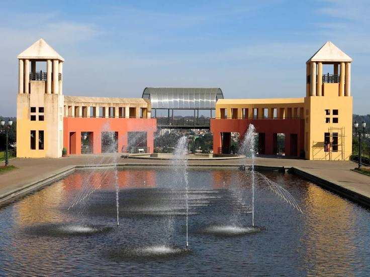
Photo
Where is located Parque Tanguá
Parque Tanguá — local attraction, which is located at Rua Oswaldo Maciel, 97 - Taboão, Curitiba - PR, 82130-494, Brazil and belongs to the category — city park. Average visitor rating for this place — 4.8 (according to 32969 ratings, information from open sources and relevant for 2022).
Exact location — Parque Tanguá, marked on the map with a red marker.
You can get directions to Parque Tanguá on the map from your location.
What else is interesting in Campo Magro? You can see all the sights if you go to the city page.
Coordinates
Parque Tanguá, Brazil coordinates in decimal format: latitude — -25.378735436975234, longitude — -49.37080808301602. When converted to degrees, minutes, seconds Parque Tanguá has the following coordinates: -25°22′43.45 north latitude and -49°22′14.91 east longitude.
Nearby cities
The largest cities that are located nearby:
- Curitiba — 19 km
- Colombo — 24 km
- Araucária — 24 km
- Pinhais — 27 km
- São José dos Pinhais — 31 km
- Paranaguá — 94 km
- Joinville — 119 km
- Jaraguá do Sul — 129 km
- Blumenau — 175 km
- Itajaí — 187 km
- Guarapuava — 201 km
- Itapetininga — 243 km
- São José — 261 km
- Florianópolis — 262 km
- Palhoça — 263 km
- Lages — 284 km
- Apucarana — 286 km
- Sorocaba — 289 km
- Botucatu — 293 km