
 Belém
Maranguape
Paranaguá
Paranaguá
Monte Alegre
Alvorada de Minas
Bragança
Laguna
Ibiporã
Belém
Maranguape
Paranaguá
Paranaguá
Monte Alegre
Alvorada de Minas
Bragança
Laguna
Ibiporã
Forest Park Fernando Silvestre da Silva on the map, Santa Cruz do Capibaribe, Brazil
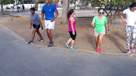
Photo
Where is located Forest Park Fernando Silvestre da Silva
Forest Park Fernando Silvestre da Silva — local attraction, which is located at 599, R. Cabo Otávio Aragão, 569 - Centro, Santa Cruz do Capibaribe - PE, 55190-000, Brazil and belongs to the category — park. Average visitor rating for this place — 3.9 (according to 541 rating, information from open sources and relevant for 2022).
Exact location — Forest Park Fernando Silvestre da Silva, marked on the map with a red marker.
You can get directions to Forest Park Fernando Silvestre da Silva on the map from your location.
What else is interesting in Santa Cruz do Capibaribe? You can see all the sights if you go to the city page.
Coordinates
Forest Park Fernando Silvestre da Silva, Brazil coordinates in decimal format: latitude — -7.953886509572198, longitude — -36.20377867567142. When converted to degrees, minutes, seconds Forest Park Fernando Silvestre da Silva has the following coordinates: -7°57′13.99 north latitude and -36°12′13.6 east longitude.
Nearby cities
The largest cities that are located nearby:
- Caruaru — 45 km
- Campina Grande — 88 km
- Jaboatão dos Guararapes — 134 km
- Camaragibe — 135 km
- Recife — 145 km
- Santa Rita — 163 km
- João Pessoa — 175 km
- Maceió — 196 km
- Arapiraca — 206 km
- Parnamirim — 248 km
- Natal — 264 km
- Mossoro — 330 km
- Aracaju — 345 km
- Juazeiro do Norte — 350 km
- Petrolina — 495 km
- Alagoinhas — 521 km
- Maracanaú — 524 km
- Fortaleza — 532 km
- Caucaia — 540 km