Itapororoca — Porto Franco
Itapororoca — Macaé
Itapororoca — Coruripe
Itapororoca — Ibitinga
Itapororoca — Dois Irmãos
Itapororoca — Cuiaba
Itapororoca — Palmares do Sul
Itapororoca — Pimenta Bueno
Itapororoca — Teixeira
Itapororoca — Tocantins
Itapororoca — Carmo da Mata
Itapororoca — Paranaguá
Itapororoca — Divinolândia
Itapororoca — Parnaíba
Itapororoca — Matias Barbosa
Itapororoca — Moreira Sales
Itapororoca — Lago da Pedra
Itapororoca — Conceição
Itapororoca — Boquira
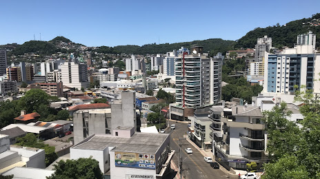
Itapororoca — Videira distance, route on the map
Distance by car
Distance between Itapororoca, Paraíba, Brazil and Videira, Santa Catarina, Brazil by car is — km, or miles. To travel this distance by car, you need minute, or h.
Route on the map, driving directions
Car route Itapororoca — Videira was created automatically. The road on the map is shown as a blue line. By moving the markers, you can create a new route through the points you need.
Distance by plane
If you decide to take a trip Itapororoca Videira by plane, then you have to fly the distance — 2805 km or 1739 miles. It is marked on the map with a gray line (between two points in a straight line).
Flight time
Estimated flight time Itapororoca Videira by plane at cruising speed 750 km / h will be — 3 h. and 44 min.
Direction of movement
Brazil, Itapororoca — right-hand traffic. Brazil, Videira — right-hand traffic.
Difference in time
Itapororoca and Videira are in the same time zone. Between them there is no time difference (UTC -3 America/Fortaleza).
Interesting Facts
Information on alternative ways to get to your destination.
The length of this distance is about 7.0% of the total length of the equator.
The percentage of the population is clearly shown in the graph:
Itapororoca — 14,119 (less by 28,322), Videira — 42,441 residents.
The cost of travel
Calculate the cost of the trip yourself using the fuel consumption calculator, changing the data in the table.