Cachoeira Alta — Frei Inocêncio
Cachoeira Alta — Central de Minas
Cachoeira Alta — Pedro Velho
Cachoeira Alta — Fernão
Cachoeira Alta — São Lourenço da Mata
Cachoeira Alta — Casimiro de Abreu
Cachoeira Alta — Júlio Mesquita
Cachoeira Alta — Laranjeiras do Sul
Cachoeira Alta — Fortaleza dos Valos
Cachoeira Alta — Jardim de Piranhas
Cachoeira Alta — Rio Novo do Sul
Cachoeira Alta — Olímpio Noronha
Cachoeira Alta — Chopinzinho
Cachoeira Alta — Eirunepé
Cachoeira Alta — Brasília de Minas
Cachoeira Alta — Pinhalzinho
Cachoeira Alta — Rio Branco
Cachoeira Alta — Agudos
Cachoeira Alta — Alto Paraná
Gerson Baduy I
Monte Alegre de Minas
Uberlândia
Romaria
Iraí de Minas
Buritizeiro
Montes Claros
Curral de Dentro
Vitória da Conquista
Jequié
Santo Estêvão
Feira de Santana
Teodoro Sampaio
Alagoinhas
Entre Rios
Esplanada
Estância
São Cristóvão
Aracaju
Laranjeiras
Maruim
Igreja Nova
Junqueiro
São Miguel dos Campos
Pilar
Urubá
Rio Largo
Messias
Flexeiras
Joaquim Gomes
Palmares
Joaquim Nabuco
Gameleira
Escada
Cabo de Santo Agostinho
Cachoeira Alta — Ipojuca distance, route on the map
Distance by car
Distance between Cachoeira Alta, Goiás, Brazil and Ipojuca, State of Pernambuco, Brazil by car is — km, or miles. To travel this distance by car, you need minute, or h.
Route on the map, driving directions
Car route Cachoeira Alta — Ipojuca was created automatically. The road on the map is shown as a blue line. By moving the markers, you can create a new route through the points you need.
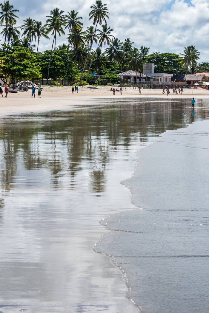
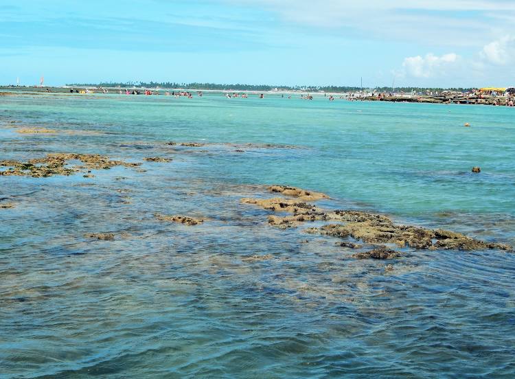
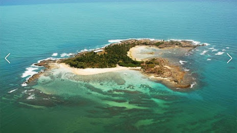
Passing cities through which the car route passes: Santa Vitória, Gerson Baduy I, Monte Alegre de Minas, Uberlândia, Romaria, Iraí de Minas, Buritizeiro, Montes Claros, Curral de Dentro, Vitória da Conquista, Jequié, Santo Estêvão, Feira de Santana, Teodoro Sampaio, Alagoinhas, Entre Rios, Esplanada, Estância, São Cristóvão, Aracaju, Laranjeiras, Maruim, Igreja Nova, Junqueiro, São Miguel dos Campos, Pilar, Urubá, Rio Largo, Messias, Flexeiras, Joaquim Gomes, Palmares, Joaquim Nabuco, Gameleira, Escada, Cabo de Santo Agostinho.
Distance by plane
If you decide to take a trip Cachoeira Alta Ipojuca by plane, then you have to fly the distance — 2066 km or 1281 miles. It is marked on the map with a gray line (between two points in a straight line).
Flight time
Estimated flight time Cachoeira Alta Ipojuca by plane at cruising speed 750 km / h will be — 2 h. and 45 min.
Direction of movement
Brazil, Cachoeira Alta — right-hand traffic. Brazil, Ipojuca — right-hand traffic.
Difference in time
Cachoeira Alta and Ipojuca are in the same time zone. Between them there is no time difference (UTC -3 America/Sao_Paulo).
Interesting Facts
Information on alternative ways to get to your destination.
The length of this distance is about 5.2% of the total length of the equator.
The percentage of the population is clearly shown in the graph:
Cachoeira Alta — 8,272 (less by 45,092), Ipojuca — 53,364 residents.
The cost of travel
Calculate the cost of the trip yourself using the fuel consumption calculator, changing the data in the table.