Cachoeira Alta — Marmelada
Cachoeira Alta — Terra de Areia
Cachoeira Alta — Cabeceiras
Cachoeira Alta — Claraval
Cachoeira Alta — Alegrete
Cachoeira Alta — Panamá
Cachoeira Alta — Brejo da Madre de Deus
Cachoeira Alta — Curiúva
Cachoeira Alta — Sousa
Cachoeira Alta — Embu das Artes
Cachoeira Alta — Guidoval
Cachoeira Alta — Itapetininga
Cachoeira Alta — Jaboatão dos Guararapes
Cachoeira Alta — São Luiz Gonzaga
Cachoeira Alta — Rosana
Cachoeira Alta — Quirinópolis
Cachoeira Alta — Pedro Leopoldo
Cachoeira Alta — Santa Clara
Cachoeira Alta — Anita Garibaldi
Frutal
Planura
Barretos
São Joaquim da Barra
São Joaquim da Barra
Franca
Patrocínio Paulista
Capetinga
Passos
Capitolio
Formiga
Carmo da Mata
Oliveira
Oliveira
São João del Rei
Tiradentes
Dores de Campos
Barroso
Barbacena
Galego
Santos Dumont
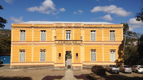
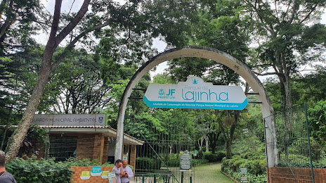
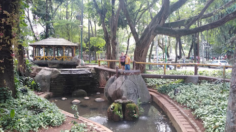
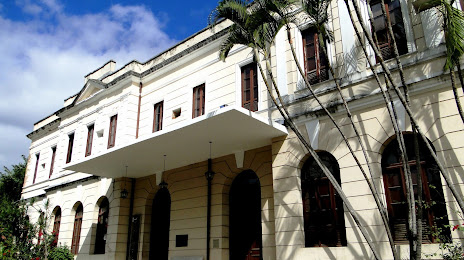
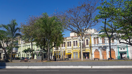
Juiz de Fora
Cachoeira Alta — Marmelada
Cachoeira Alta — Terra de Areia
Cachoeira Alta — Cabeceiras
Cachoeira Alta — Claraval
Cachoeira Alta — Alegrete
Cachoeira Alta — Panamá
Cachoeira Alta — Brejo da Madre de Deus
Cachoeira Alta — Curiúva
Cachoeira Alta — Sousa
Cachoeira Alta — Embu das Artes
Cachoeira Alta — Guidoval
Cachoeira Alta — Itapetininga
Cachoeira Alta — Jaboatão dos Guararapes
Cachoeira Alta — São Luiz Gonzaga
Cachoeira Alta — Rosana
Cachoeira Alta — Quirinópolis
Cachoeira Alta — Pedro Leopoldo
Cachoeira Alta — Santa Clara
Cachoeira Alta — Anita Garibaldi
Frutal
Planura
Barretos
São Joaquim da Barra
São Joaquim da Barra
Franca
Patrocínio Paulista
Capetinga
Passos
Capitolio
Formiga
Carmo da Mata
Oliveira
Oliveira
São João del Rei
Tiradentes
Dores de Campos
Barroso
Barbacena
Galego
Santos Dumont
Juiz de Fora
Cachoeira Alta — Juiz de Fora distance, route on the map
Distance by car
Distance between Cachoeira Alta, Goiás, Brazil and Juiz de Fora, Minas Gerais, Brazil by car is — km, or miles. To travel this distance by car, you need minute, or h.
Route on the map, driving directions
Car route Cachoeira Alta — Juiz de Fora was created automatically. The road on the map is shown as a blue line. By moving the markers, you can create a new route through the points you need.
Passing cities through which the car route passes: Campina Verde, Frutal, Planura, Barretos, São Joaquim da Barra, São Joaquim da Barra, Franca, Patrocínio Paulista, Capetinga, Passos, Capitolio, Formiga, Carmo da Mata, Oliveira, Oliveira, São João del Rei, Tiradentes, Dores de Campos, Barroso, Barbacena, Galego, Santos Dumont, Juiz de Fora.
Distance by plane
If you decide to take a trip Cachoeira Alta Juiz de Fora by plane, then you have to fly the distance — 860 km or 533 miles. It is marked on the map with a gray line (between two points in a straight line).
Flight time
Estimated flight time Cachoeira Alta Juiz de Fora by plane at cruising speed 750 km / h will be — 1 h. and 8 min.
Direction of movement
Brazil, Cachoeira Alta — right-hand traffic. Brazil, Juiz de Fora — right-hand traffic.
Difference in time
Cachoeira Alta and Juiz de Fora are in the same time zone. Between them there is no time difference (UTC -3 America/Sao_Paulo).
Interesting Facts
Information on alternative ways to get to your destination.
The length of this distance is about 2.1% of the total length of the equator.
The percentage of the population is clearly shown in the graph:
Cachoeira Alta — 8,272 (less by 461,929), Juiz de Fora — 470,201 residents.
The cost of travel
Calculate the cost of the trip yourself using the fuel consumption calculator, changing the data in the table.