 Warner Robins
Wantagh
Bethel
Misty Hill Farm
United States
Wakonda Beach (R33) Airport
Wilmington
Poland
Miami International Airport
Warner Robins
Wantagh
Bethel
Misty Hill Farm
United States
Wakonda Beach (R33) Airport
Wilmington
Poland
Miami International Airport
Red Bud Isle on the map, Austin, United States
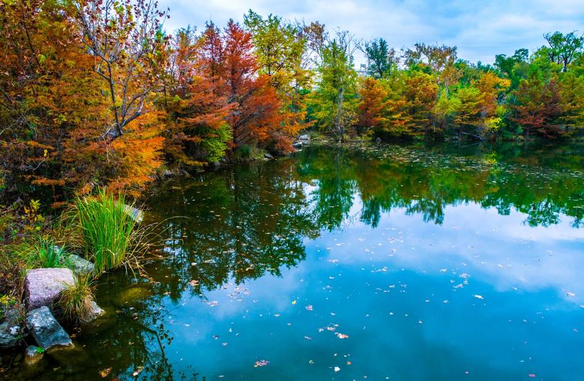
Photo
Where is located Red Bud Isle
Red Bud Isle — local attraction, which is located at 3401 Redbud Trail, Austin, TX 78746, United States and belongs to the category — dog park. Average visitor rating for this place — 4.6 (according to 1204 ratings, information from open sources and relevant for 2022).
Exact location — Red Bud Isle, marked on the map with a red marker.
You can get directions to Red Bud Isle on the map from your location.
What else is interesting in Austin? You can see all the sights if you go to the city page.
Coordinates
Red Bud Isle, United States coordinates in decimal format: latitude — 30.29080769336355, longitude — -97.78690297532967. When converted to degrees, minutes, seconds Red Bud Isle has the following coordinates: 30°17′26.91 north latitude and -97°47′12.85 east longitude.
Nearby cities
The largest cities that are located nearby:
- Killeen — 94 km
- San Antonio — 118 km
- Waco — 152 km
- Houston — 235 km
- Corpus Christi — 275 km
- Fort Worth — 278 km
- Arlington — 279 km
- Grand Prairie — 283 km
- Dallas — 291 km
- Irving — 291 km
- Mesquite — 296 km
- Abilene — 304 km
- Carrollton — 310 km
- Garland — 310 km
- Richardson — 311 km
- Plano — 319 km
- Piedras Negras
 (Mexico) — 320 km
 - Ciudad Acuna (Mexico) — 326 km
- Frisco — 330 km
Distance to the capital
Distance to the capital (Washington) is about — 2121 km.