 Warner Robins
Wantagh
Bethel
Misty Hill Farm
United States
Wakonda Beach (R33) Airport
Wilmington
Poland
Miami International Airport
Warner Robins
Wantagh
Bethel
Misty Hill Farm
United States
Wakonda Beach (R33) Airport
Wilmington
Poland
Miami International Airport
Zambezi River Hippo Camp on the map, Memphis, United States
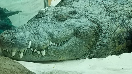
Photo
Where is located Zambezi River Hippo Camp
Zambezi River Hippo Camp — local attraction, which is located at Rainbow Lake Trail, Memphis, TN 38112, United States and belongs to the category — zoo. Average visitor rating for this place — 5.0 (according to 4 ratings, information from open sources and relevant for 2022).
Exact location — Zambezi River Hippo Camp, marked on the map with a red marker.
You can get directions to Zambezi River Hippo Camp on the map from your location.
What else is interesting in Memphis? You can see all the sights if you go to the city page.
Coordinates
Zambezi River Hippo Camp, United States coordinates in decimal format: latitude — 35.15003970451851, longitude — -89.99327167520623. When converted to degrees, minutes, seconds Zambezi River Hippo Camp has the following coordinates: 35°9′0.14 north latitude and -89°59′35.78 east longitude.
Nearby cities
The largest cities that are located nearby:
- Little Rock — 208 km
- Clarksville — 284 km
- Nashville — 312 km
- Jackson — 315 km
- Huntsville — 318 km
- Birmingham — 349 km
- Springfield — 365 km
- Evansville — 379 km
- Saint Louis — 385 km
- Chattanooga — 429 km
- Shreveport — 451 km
- Montgomery — 466 km
- Louisville — 506 km
- Mobile — 528 km
- Baton Rouge — 529 km
- Tulsa — 542 km
- Atlanta — 543 km
- Knoxville — 556 km
- Metairie — 571 km
Distance to the capital
Distance to the capital (Washington) is about — 1223 km.