 Warner Robins
Wantagh
Bethel
Misty Hill Farm
United States
Wakonda Beach (R33) Airport
Wilmington
Poland
Miami International Airport
Warner Robins
Wantagh
Bethel
Misty Hill Farm
United States
Wakonda Beach (R33) Airport
Wilmington
Poland
Miami International Airport
Fort Snelling State Park on the map, Minneapolis, United States
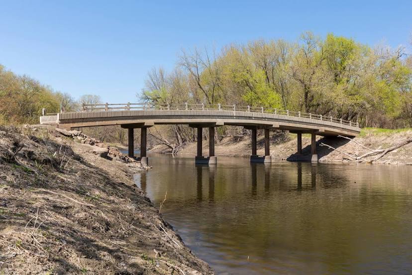
Photo
Where is located Fort Snelling State Park
Fort Snelling State Park — local attraction, which is located at 101 Snelling Lake Rd, St Paul, MN 55111, United States and belongs to the category — state park. Average visitor rating for this place — 4.7 (according to 1880 ratings, information from open sources and relevant for 2022).
Exact location — Fort Snelling State Park, marked on the map with a red marker.
You can get directions to Fort Snelling State Park on the map from your location.
What else is interesting in Minneapolis? You can see all the sights if you go to the city page.
Coordinates
Fort Snelling State Park, United States coordinates in decimal format: latitude — 44.879140275864685, longitude — -93.18652865591405. When converted to degrees, minutes, seconds Fort Snelling State Park has the following coordinates: 44°52′44.9 north latitude and -93°11′11.5 east longitude.
Nearby cities
The largest cities that are located nearby:
- Saint Paul — 14 km
- Sioux Falls — 320 km
- Des Moines — 374 km
- Madison — 376 km
- Green Bay — 417 km
- Rockford — 454 km
- Omaha — 470 km
- Milwaukee — 483 km
- Lincoln — 541 km
- Aurora — 541 km
- Naperville — 552 km
- Peoria — 565 km
- Joliet — 574 km
- Chicago — 577 km
- Winnipeg
 (Canada) — 610 km
 - Grand Rapids — 654 km
- North Kansas City — 655 km
- Independence — 658 km
- Kansas City — 660 km
Distance to the capital
Distance to the capital (Washington) is about — 1489 km.