 Warner Robins
Wantagh
Bethel
Misty Hill Farm
United States
Wakonda Beach (R33) Airport
Wilmington
Poland
Miami International Airport
Warner Robins
Wantagh
Bethel
Misty Hill Farm
United States
Wakonda Beach (R33) Airport
Wilmington
Poland
Miami International Airport
Living History Farms on the map, Urbandale, United States
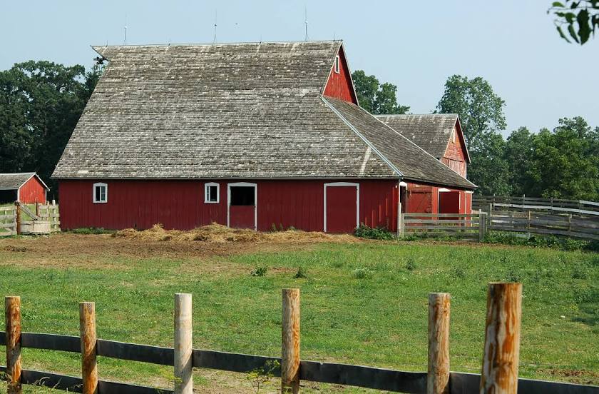
Photo
Where is located Living History Farms
Living History Farms — local attraction, which is located at 11121 Hickman Rd, Urbandale, IA 50322, United States and belongs to the category — museum. Average visitor rating for this place — 4.6 (according to 745 ratings, information from open sources and relevant for 2022).
Exact location — Living History Farms, marked on the map with a red marker.
You can get directions to Living History Farms on the map from your location.
What else is interesting in Urbandale? You can see all the sights if you go to the city page.
Coordinates
Living History Farms, United States coordinates in decimal format: latitude — 41.61691468520503, longitude — -93.77059467501762. When converted to degrees, minutes, seconds Living History Farms has the following coordinates: 41°37′0.89 north latitude and -93°46′14.14 east longitude.
Nearby cities
The largest cities that are located nearby:
- Des Moines — 9 km
- Omaha — 194 km
- Lincoln — 264 km
- North Kansas City — 284 km
- Independence — 287 km
- Kansas City — 289 km
- Overland Park — 304 km
- Olathe — 318 km
- Sioux Falls — 322 km
- Topeka — 331 km
- Peoria — 361 km
- Saint Paul — 371 km
- Minneapolis — 372 km
- Madison — 383 km
- Rockford — 384 km
- Aurora — 445 km
- Saint Louis — 450 km
- Naperville — 459 km
- Joliet — 466 km
Distance to the capital
Distance to the capital (Washington) is about — 1449 km.