 Warner Robins
Wantagh
Bethel
Misty Hill Farm
United States
Wakonda Beach (R33) Airport
Wilmington
Poland
Miami International Airport
Warner Robins
Wantagh
Bethel
Misty Hill Farm
United States
Wakonda Beach (R33) Airport
Wilmington
Poland
Miami International Airport
Savannah City Hall on the map, Savannah, United States
Photo
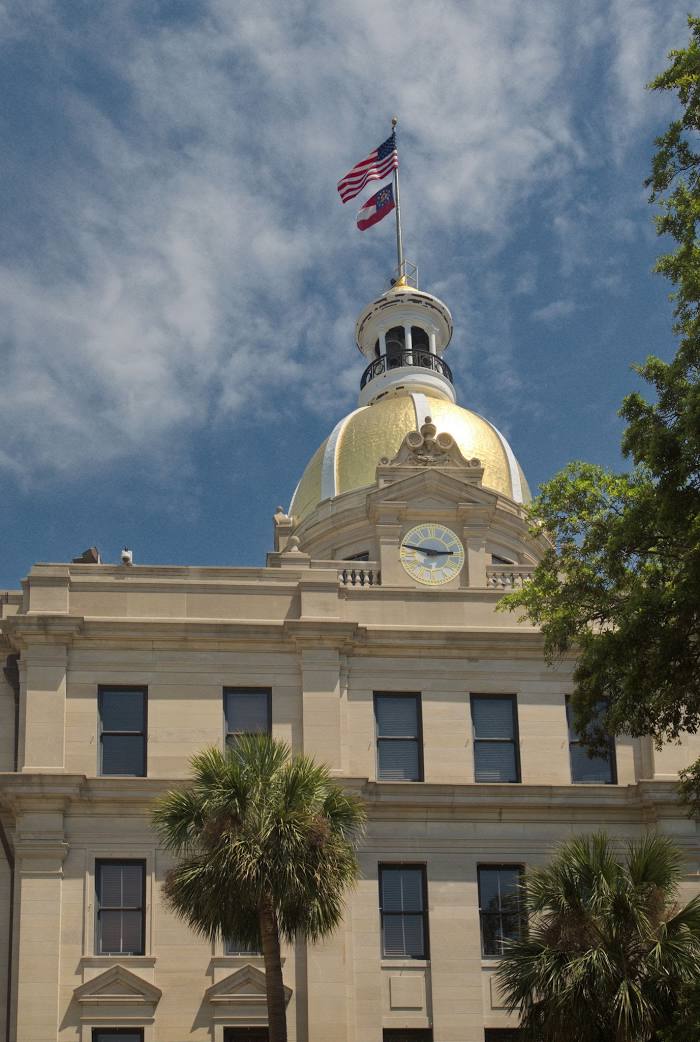
Where is located Savannah City Hall
Savannah City Hall — local attraction, which is located at 2 E Bay St, Savannah, GA 31401, United States and belongs to the category — city or town hall. Average visitor rating for this place — 3.4 (according to 5 ratings, information from open sources and relevant for 2022).
Exact location — Savannah City Hall, marked on the map with a red marker.
You can get directions to Savannah City Hall on the map from your location.
What else is interesting in Savannah? You can see all the sights if you go to the city page.
Coordinates
Savannah City Hall, United States coordinates in decimal format: latitude — 32.0361471730308, longitude — -81.20440773558275. When converted to degrees, minutes, seconds Savannah City Hall has the following coordinates: 32°2′10.13 north latitude and -81°12′15.87 east longitude.
Nearby cities
The largest cities that are located nearby:
- Charleston — 133 km
- Jacksonville — 201 km
- Columbia — 212 km
- Gainesville — 294 km
- Charlotte — 348 km
- Tallahassee — 354 km
- Atlanta — 354 km
- Fayetteville — 385 km
- Orlando — 393 km
- Winston-Salem — 451 km
- Greensboro — 456 km
- Cary — 460 km
- Raleigh — 464 km
- Brandon — 473 km
- Durham — 475 km
- Tampa — 476 km
- Clearwater — 485 km
- Montgomery — 487 km
- Knoxville — 497 km
Distance to the capital
Distance to the capital (Washington) is about — 852 km.