Babayurt — Yurlovo
Babayurt — Godenovo
Babayurt — Kemerovo Oblast
Babayurt — Kundravy
Babayurt — Lapas
Babayurt — Mechetinskaya
Babayurt — Dukhovskaya
Babayurt — Shangaly
Babayurt — Yelkhovyy Kust
Babayurt — Komsomol
Babayurt — Kokorino
Babayurt — Berezovka
Babayurt — Medyn
Babayurt — Mezhdurechensk
Babayurt — Arsenyev
Babayurt — Taraskino
Babayurt — Evseevka
Babayurt — Korsakov
Babayurt — Vinogradnyy
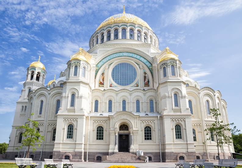
Babayurt — Kronshtadt distance, route on the map
Distance by car
Distance between Babayurt, Dagestan Republits, Russian Federation and Kronshtadt, Saint Petersburg, Russian Federation by car is — km, or miles. To travel this distance by car, you need minute, or h.
Route on the map, driving directions
Car route Babayurt — Kronshtadt was created automatically. The road on the map is shown as a blue line. By moving the markers, you can create a new route through the points you need.
Distance by plane
If you decide to take a trip Babayurt Kronshtadt by plane, then you have to fly the distance — 2153 km or 1335 miles. It is marked on the map with a gray line (between two points in a straight line).
Flight time
Estimated flight time Babayurt Kronshtadt by plane at cruising speed 750 km / h will be — 2 h. and 52 min.
Direction of movement
Russian Federation, Babayurt — right-hand traffic. Russian Federation, Kronshtadt — right-hand traffic.
Difference in time
Babayurt and Kronshtadt are in the same time zone. Between them there is no time difference (UTC +3 Europe/Moscow).
Interesting Facts
Information on alternative ways to get to your destination.
The length of this distance is about 5.4% of the total length of the equator.
The percentage of the population is clearly shown in the graph:
Babayurt — 13,857 (less by 29,130), Kronshtadt — 42,987 residents.
The cost of travel
Calculate the cost of the trip yourself using the fuel consumption calculator, changing the data in the table.