 Warner Robins
Wantagh
Bethel
Misty Hill Farm
United States
Wakonda Beach (R33) Airport
Wilmington
Poland
Miami International Airport
Warner Robins
Wantagh
Bethel
Misty Hill Farm
United States
Wakonda Beach (R33) Airport
Wilmington
Poland
Miami International Airport
Soldiers Memorial Military Museum on the map, Saint Louis, United States
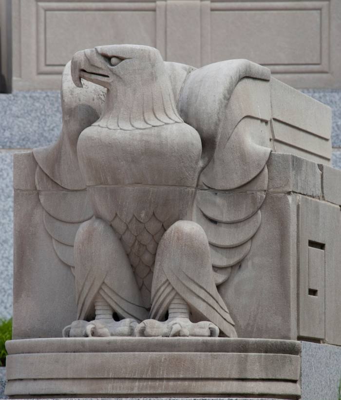
Photo
Where is located Soldiers Memorial Military Museum
Soldiers Memorial Military Museum — local attraction, which is located at 1315 Chestnut St, St. Louis, MO 63103, United States and belongs to the category — museum. Average visitor rating for this place — 4.7 (according to 622 ratings, information from open sources and relevant for 2022).
Exact location — Soldiers Memorial Military Museum, marked on the map with a red marker.
You can get directions to Soldiers Memorial Military Museum on the map from your location.
What else is interesting in Saint Louis? You can see all the sights if you go to the city page.
Coordinates
Soldiers Memorial Military Museum, United States coordinates in decimal format: latitude — 38.62899666324948, longitude — -90.20012427510812. When converted to degrees, minutes, seconds Soldiers Memorial Military Museum has the following coordinates: 38°37′44.39 north latitude and -90°12′0.45 east longitude.
Nearby cities
The largest cities that are located nearby:
- Peoria — 234 km
- Evansville — 240 km
- Springfield — 314 km
- Clarksville — 343 km
- Joliet — 365 km
- Independence — 365 km
- Indianapolis — 366 km
- North Kansas City — 379 km
- Kansas City — 379 km
- Aurora — 380 km
- Naperville — 384 km
- Memphis — 385 km
- Overland Park — 386 km
- Louisville — 388 km
- Olathe — 399 km
- Nashville — 409 km
- Rockford — 413 km
- Chicago — 417 km
- Des Moines — 433 km
Distance to the capital
Distance to the capital (Washington) is about — 1141 km.