 Warner Robins
Wantagh
Bethel
Misty Hill Farm
United States
Wakonda Beach (R33) Airport
Wilmington
Poland
Miami International Airport
Warner Robins
Wantagh
Bethel
Misty Hill Farm
United States
Wakonda Beach (R33) Airport
Wilmington
Poland
Miami International Airport
Blackacre Conservancy on the map, Louisville, United States
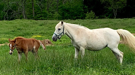
Photo
Where is located Blackacre Conservancy
Blackacre Conservancy — local attraction, which is located at 3200 Tucker Station Rd, Louisville, KY 40299, United States and belongs to the category — non-profit organization. Average visitor rating for this place — 4.4 (according to 31 rating, information from open sources and relevant for 2022).
Exact location — Blackacre Conservancy, marked on the map with a red marker.
You can get directions to Blackacre Conservancy on the map from your location.
What else is interesting in Louisville? You can see all the sights if you go to the city page.
Coordinates
Blackacre Conservancy, United States coordinates in decimal format: latitude — 38.19268313489968, longitude — -85.52453167512084. When converted to degrees, minutes, seconds Blackacre Conservancy has the following coordinates: 38°11′33.66 north latitude and -85°31′28.31 east longitude.
Nearby cities
The largest cities that are located nearby:
- Cincinnati — 142 km
- Evansville — 161 km
- Indianapolis — 171 km
- Clarksville — 238 km
- Springfield — 248 km
- Nashville — 248 km
- Columbus — 301 km
- Knoxville — 302 km
- Fort Wayne — 317 km
- Chattanooga — 357 km
- South Bend — 381 km
- Saint Louis — 386 km
- Huntsville — 397 km
- Joliet — 410 km
- Toledo — 419 km
- Peoria — 419 km
- Chicago — 429 km
- Naperville — 434 km
- Aurora — 442 km
Distance to the capital
Distance to the capital (Washington) is about — 742 km.