 Warner Robins
Wantagh
Bethel
Misty Hill Farm
United States
Wakonda Beach (R33) Airport
Wilmington
Poland
Miami International Airport
Warner Robins
Wantagh
Bethel
Misty Hill Farm
United States
Wakonda Beach (R33) Airport
Wilmington
Poland
Miami International Airport
South Florida Science Center on the map, West Palm Beach, United States
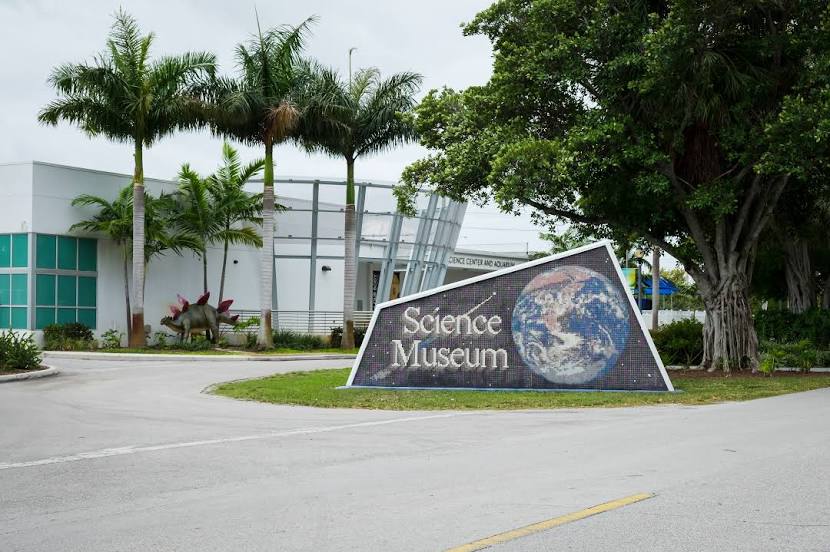
Photo
Where is located South Florida Science Center
South Florida Science Center — local attraction, which is located at 4801 Dreher Trail N, West Palm Beach, FL 33405, United States and belongs to the category — community-based organization. Average visitor rating for this place — 4.3 (according to 706 ratings, information from open sources and relevant for 2022).
Exact location — South Florida Science Center, marked on the map with a red marker.
You can get directions to South Florida Science Center on the map from your location.
What else is interesting in West Palm Beach? You can see all the sights if you go to the city page.
Coordinates
South Florida Science Center, United States coordinates in decimal format: latitude — 26.669206439831132, longitude — -80.0697087754108. When converted to degrees, minutes, seconds South Florida Science Center has the following coordinates: 26°40′9.14 north latitude and -80°4′10.95 east longitude.
Nearby cities
The largest cities that are located nearby:
- Coral Springs — 54 km
- Fort Lauderdale — 66 km
- Port Saint Lucie — 69 km
- Hollywood — 78 km
- Pembroke Pines — 82 km
- Miramar — 84 km
- Hialeah — 97 km
- Miami — 106 km
- Cape Coral — 188 km
- Orlando — 239 km
- Brandon — 257 km
- Tampa — 272 km
- Saint Petersburg — 279 km
- Clearwater — 302 km
- Nassau
 (The Bahamas) — 327 km
 - Gainesville — 391 km
- Jacksonville — 428 km
- Matanzas
 (Cuba) — 434 km
 - Havana (Cuba) — 453 km
Distance to the capital
Distance to the capital (Washington) is about — 1390 km.