 Warner Robins
Wantagh
Bethel
Misty Hill Farm
United States
Wakonda Beach (R33) Airport
Wilmington
Poland
Miami International Airport
Warner Robins
Wantagh
Bethel
Misty Hill Farm
United States
Wakonda Beach (R33) Airport
Wilmington
Poland
Miami International Airport
Harry P Leu Gardens on the map, Orlando, United States
Photo
Where is located Harry P Leu Gardens
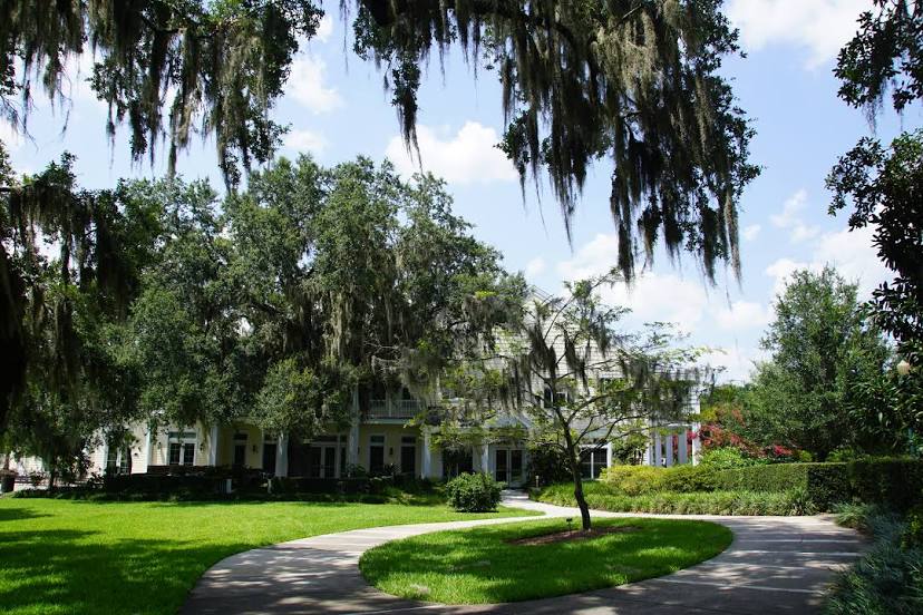
Harry P Leu Gardens — local attraction, which is located at 1920 N Forest Ave, Orlando, FL 32803, United States and belongs to the category — $. Average visitor rating for this place — 4.7 (according to 4161 rating, information from open sources and relevant for 2022).
Exact location — Harry P Leu Gardens, marked on the map with a red marker.
You can get directions to Harry P Leu Gardens on the map from your location.
What else is interesting in Orlando? You can see all the sights if you go to the city page.
Coordinates
Harry P Leu Gardens, United States coordinates in decimal format: latitude — 28.56959268138338, longitude — -81.35589157536943. When converted to degrees, minutes, seconds Harry P Leu Gardens has the following coordinates: 28°34′10.53 north latitude and -81°21′21.21 east longitude.
Nearby cities
The largest cities that are located nearby:
- Brandon — 111 km
- Tampa — 124 km
- Saint Petersburg — 150 km
- Clearwater — 153 km
- Gainesville — 153 km
- Port Saint Lucie — 172 km
- Jacksonville — 200 km
- Cape Coral — 226 km
- Coral Springs — 274 km
- Fort Lauderdale — 294 km
- Pembroke Pines — 300 km
- Miramar — 302 km
- Hollywood — 305 km
- Hialeah — 316 km
- Miami — 329 km
- Tallahassee — 347 km
- Savannah — 393 km
- Charleston — 488 km
- Nassau
 (The Bahamas) — 558 km
Distance to the capital
Distance to the capital (Washington) is about — 1217 km.