 Warner Robins
Wantagh
Bethel
Misty Hill Farm
United States
Wakonda Beach (R33) Airport
Wilmington
Poland
Miami International Airport
Warner Robins
Wantagh
Bethel
Misty Hill Farm
United States
Wakonda Beach (R33) Airport
Wilmington
Poland
Miami International Airport
Clear Creek on the map, Westminster, United States
Photo
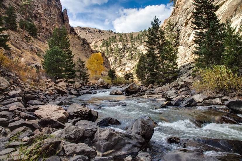
Where is located Clear Creek
Clear Creek — local attraction, which is located at 106 km and belongs to the category — -. Average visitor rating for this place — 4.6 (according to 38 ratings, information from open sources and relevant for 2022).
Exact location — Clear Creek, marked on the map with a red marker.
You can get directions to Clear Creek on the map from your location.
What else is interesting in Westminster? You can see all the sights if you go to the city page.
Coordinates
Clear Creek, United States coordinates in decimal format: latitude — 39.801419887672154, longitude — -105.03600637507323. When converted to degrees, minutes, seconds Clear Creek has the following coordinates: 39°48′5.11 north latitude and -105°2′9.62 east longitude.
Nearby cities
The largest cities that are located nearby:
- Arvada — 6 km
- Thornton — 7 km
- Denver — 11 km
- Lakewood — 15 km
- Aurora — 21 km
- Fort Collins — 83 km
- Colorado Springs — 112 km
- Pueblo — 179 km
- Albuquerque — 544 km
- Provo — 561 km
- Valencia — 577 km
- Salt Lake City — 583 km
- West Jordan — 586 km
- Amarillo — 587 km
- West Valley City — 591 km
- Lincoln — 707 km
- Wichita — 714 km
- Lubbock — 751 km
- Omaha — 767 km
Distance to the capital
Distance to the capital (Washington) is about — 2400 km.