 Warner Robins
Wantagh
Bethel
Misty Hill Farm
United States
Wakonda Beach (R33) Airport
Wilmington
Poland
Miami International Airport
Warner Robins
Wantagh
Bethel
Misty Hill Farm
United States
Wakonda Beach (R33) Airport
Wilmington
Poland
Miami International Airport
Dover International Speedway on the map, Dover, United States
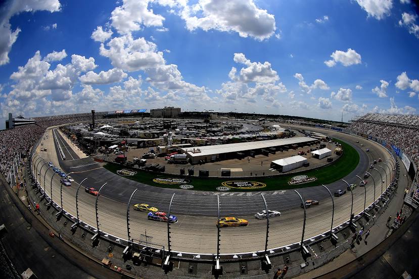
Photo
Where is located Dover International Speedway
Dover International Speedway — local attraction, which is located at 1131 N Dupont Hwy, Dover, DE 19901, United States and belongs to the category — sports venue. Average visitor rating for this place — 4.5 (according to 5395 ratings, information from open sources and relevant for 2022).
Exact location — Dover International Speedway, marked on the map with a red marker.
You can get directions to Dover International Speedway on the map from your location.
What else is interesting in Dover? You can see all the sights if you go to the city page.
Coordinates
Dover International Speedway, United States coordinates in decimal format: latitude — 39.189003959546206, longitude — -75.53063947509165. When converted to degrees, minutes, seconds Dover International Speedway has the following coordinates: 39°11′20.41 north latitude and -75°31′50.3 east longitude.
Nearby cities
The largest cities that are located nearby:
- Philadelphia — 93 km
- Baltimore — 94 km
- Alexandria — 137 km
- Toms River — 143 km
- Allentown — 160 km
- Edison — 177 km
- Elizabeth — 200 km
- Newark — 208 km
- Brooklyn — 213 km
- New York — 214 km
- Paterson — 225 km
- Yonkers — 238 km
- Richmond — 245 km
- Hampton — 246 km
- Virginia Beach — 258 km
- Norfolk — 264 km
- Stamford — 267 km
- Chesapeake — 273 km
- Bridgeport — 296 km
Distance to the capital
Distance to the capital (Washington) is about — 134 km.