 Warner Robins
Wantagh
Bethel
Misty Hill Farm
United States
Wakonda Beach (R33) Airport
Wilmington
Poland
Miami International Airport
Warner Robins
Wantagh
Bethel
Misty Hill Farm
United States
Wakonda Beach (R33) Airport
Wilmington
Poland
Miami International Airport
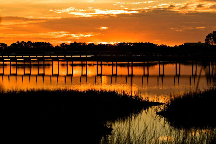
Saint Andrew Bay on the map, Panama City, United States
Photo
Where is located Saint Andrew Bay
Saint Andrew Bay — local attraction, which is located at no data and belongs to the category — -. Average visitor rating for this place — 4.8 (according to 211 ratings, information from open sources and relevant for 2022).
Exact location — Saint Andrew Bay, marked on the map with a red marker.
You can get directions to Saint Andrew Bay on the map from your location.
What else is interesting in Panama City? You can see all the sights if you go to the city page.
Coordinates
Saint Andrew Bay, United States coordinates in decimal format: latitude — 30.120947541993758, longitude — -85.68113202324771. When converted to degrees, minutes, seconds Saint Andrew Bay has the following coordinates: 30°7′15.41 north latitude and -85°40′52.08 east longitude.
Nearby cities
The largest cities that are located nearby:
- Tallahassee — 135 km
- Mobile — 234 km
- Montgomery — 251 km
- Gainesville — 325 km
- Clearwater — 370 km
- Jacksonville — 383 km
- Birmingham — 386 km
- Saint Petersburg — 396 km
- Tampa — 397 km
- Brandon — 411 km
- Atlanta — 414 km
- New Orleans — 423 km
- Metairie — 431 km
- Orlando — 453 km
- Savannah — 477 km
- Jackson — 485 km
- Huntsville — 512 km
- Baton Rouge — 523 km
- Cape Coral — 541 km
Distance to the capital
Distance to the capital (Washington) is about — 1257 km.