 Warner Robins
Wantagh
Bethel
Misty Hill Farm
United States
Wakonda Beach (R33) Airport
Wilmington
Poland
Miami International Airport
Warner Robins
Wantagh
Bethel
Misty Hill Farm
United States
Wakonda Beach (R33) Airport
Wilmington
Poland
Miami International Airport
Blue Springs Historical Society on the map, Blue Springs, United States
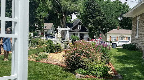
Photo
Where is located Blue Springs Historical Society
Blue Springs Historical Society — local attraction, which is located at 101 SW 15 St, Blue Springs, MO 64015, United States and belongs to the category — museum. Average visitor rating for this place — 4.6 (according to 19 ratings, information from open sources and relevant for 2022).
Exact location — Blue Springs Historical Society, marked on the map with a red marker.
You can get directions to Blue Springs Historical Society on the map from your location.
What else is interesting in Blue Springs? You can see all the sights if you go to the city page.
Coordinates
Blue Springs Historical Society, United States coordinates in decimal format: latitude — 39.01825446882275, longitude — -94.28178237509664. When converted to degrees, minutes, seconds Blue Springs Historical Society has the following coordinates: 39°1′5.72 north latitude and -94°16′54.42 east longitude.
Nearby cities
The largest cities that are located nearby:
- Independence — 14 km
- Kansas City — 27 km
- North Kansas City — 29 km
- Overland Park — 34 km
- Olathe — 49 km
- Topeka — 121 km
- Springfield — 218 km
- Lincoln — 284 km
- Omaha — 285 km
- Des Moines — 291 km
- Wichita — 305 km
- Tulsa — 351 km
- Saint Louis — 355 km
- Peoria — 435 km
- Oklahoma City — 489 km
- Little Rock — 506 km
- Norman — 507 km
- Sioux Falls — 538 km
- Rockford — 556 km
Distance to the capital
Distance to the capital (Washington) is about — 1489 km.