 Warner Robins
Wantagh
Bethel
Misty Hill Farm
United States
Wakonda Beach (R33) Airport
Wilmington
Poland
Miami International Airport
Warner Robins
Wantagh
Bethel
Misty Hill Farm
United States
Wakonda Beach (R33) Airport
Wilmington
Poland
Miami International Airport
Lake Sylvia State Park on the map, Aberdeen, United States
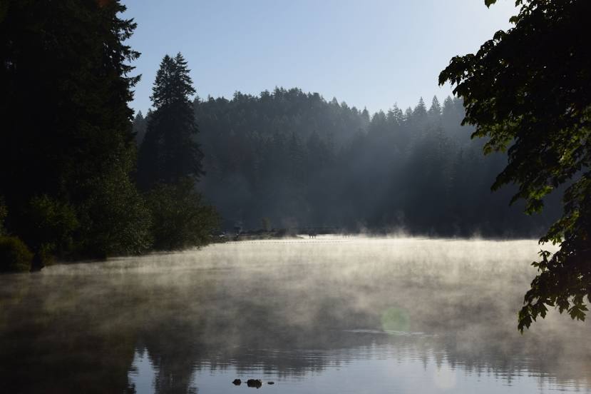
Photo
Where is located Lake Sylvia State Park
Lake Sylvia State Park — local attraction, which is located at 1812 Lake Sylvia Rd N, Montesano, WA 98563, United States and belongs to the category — state park. Average visitor rating for this place — 4.6 (according to 862 ratings, information from open sources and relevant for 2022).
Exact location — Lake Sylvia State Park, marked on the map with a red marker.
You can get directions to Lake Sylvia State Park on the map from your location.
What else is interesting in Aberdeen? You can see all the sights if you go to the city page.
Coordinates
Lake Sylvia State Park, United States coordinates in decimal format: latitude — 47.000536252771695, longitude — -123.59052667484097. When converted to degrees, minutes, seconds Lake Sylvia State Park has the following coordinates: 47°0′1.93 north latitude and -123°35′25.9 east longitude.
Nearby cities
The largest cities that are located nearby:
- Tacoma — 107 km
- Seattle — 131 km
- Bellevue — 139 km
- Victoria
 (Canada) — 164 km
 - Vancouver — 173 km
- Portland — 183 km
- Salem — 233 km
- Delta (Canada) — 241 km
- Richmond (Canada) — 247 km
- Surrey (Canada) — 254 km
- Abbotsford (Canada) — 254 km
- Burnaby (Canada) — 261 km
- Coquitlam (Canada) — 266 km
- Anmore (Canada) — 268 km
- Eugene — 328 km
- Kelowna (Canada) — 445 km
- Spokane — 482 km
- Boise — 713 km
- Calgary (Canada) — 813 km
Distance to the capital
Distance to the capital (Washington) is about — 3835 km.