 Warner Robins
Wantagh
Bethel
Misty Hill Farm
United States
Wakonda Beach (R33) Airport
Wilmington
Poland
Miami International Airport
Warner Robins
Wantagh
Bethel
Misty Hill Farm
United States
Wakonda Beach (R33) Airport
Wilmington
Poland
Miami International Airport
Kettle Moraine State Forest - Lapham Peak Unit on the map, Oconomowoc, United States
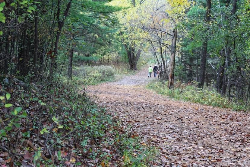
Photo
Where is located Kettle Moraine State Forest - Lapham Peak Unit
Kettle Moraine State Forest - Lapham Peak Unit — local attraction, which is located at W329 N846, County Rd C, Delafield, WI 53018, United States and belongs to the category — state park. Average visitor rating for this place — 4.8 (according to 965 ratings, information from open sources and relevant for 2022).
Exact location — Kettle Moraine State Forest - Lapham Peak Unit, marked on the map with a red marker.
You can get directions to Kettle Moraine State Forest - Lapham Peak Unit on the map from your location.
What else is interesting in Oconomowoc? You can see all the sights if you go to the city page.
Coordinates
Kettle Moraine State Forest - Lapham Peak Unit, United States coordinates in decimal format: latitude — 43.036735490693665, longitude — -88.39698597497271. When converted to degrees, minutes, seconds Kettle Moraine State Forest - Lapham Peak Unit has the following coordinates: 43°2′12.25 north latitude and -88°23′49.15 east longitude.
Nearby cities
The largest cities that are located nearby:
- Milwaukee — 49 km
- Madison — 73 km
- Rockford — 105 km
- Aurora — 150 km
- Naperville — 153 km
- Chicago — 154 km
- Green Bay — 160 km
- Joliet — 179 km
- Grand Rapids — 230 km
- South Bend — 244 km
- Peoria — 283 km
- Lansing — 323 km
- Fort Wayne — 359 km
- Flint — 389 km
- Ann Arbor — 400 km
- Saint Paul — 413 km
- Indianapolis — 420 km
- Minneapolis — 426 km
- Toledo — 439 km
Distance to the capital
Distance to the capital (Washington) is about — 1058 km.