 Warner Robins
Wantagh
Bethel
Misty Hill Farm
United States
Wakonda Beach (R33) Airport
Wilmington
Poland
Miami International Airport
Warner Robins
Wantagh
Bethel
Misty Hill Farm
United States
Wakonda Beach (R33) Airport
Wilmington
Poland
Miami International Airport
National Butterfly Center on the map, McAllen, United States
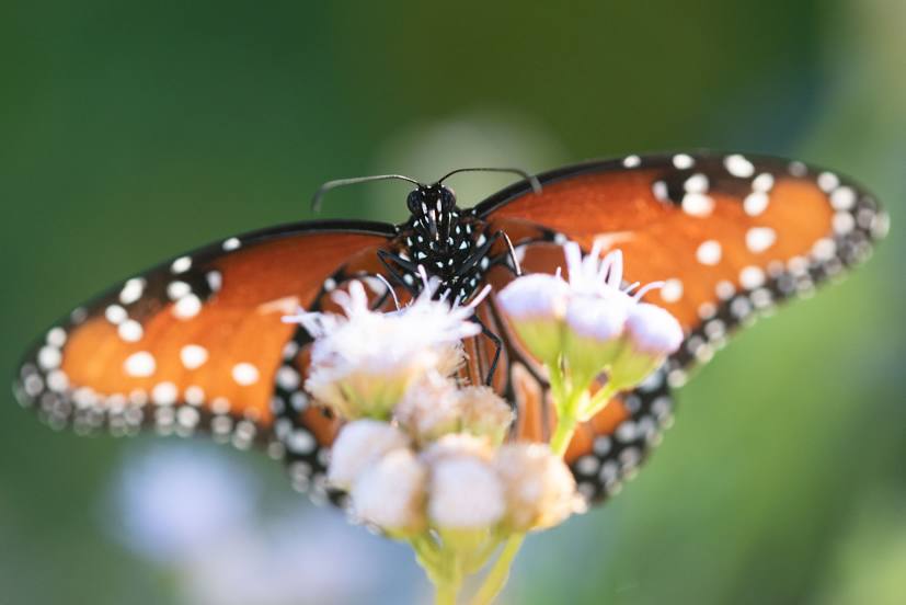
Photo
Where is located National Butterfly Center
National Butterfly Center — local attraction, which is located at 3333 Butterfly Park, Mission, TX 78572, United States and belongs to the category — museum. Average visitor rating for this place — 4.4 (according to 462 ratings, information from open sources and relevant for 2022).
Exact location — National Butterfly Center, marked on the map with a red marker.
You can get directions to National Butterfly Center on the map from your location.
What else is interesting in McAllen? You can see all the sights if you go to the city page.
Coordinates
National Butterfly Center, United States coordinates in decimal format: latitude — 26.17979165652133, longitude — -98.366556975421. When converted to degrees, minutes, seconds National Butterfly Center has the following coordinates: 26°10′47.25 north latitude and -98°21′59.61 east longitude.
Nearby cities
The largest cities that are located nearby:
- Reynosa
 (Mexico) — 13 km
 - Brownsville — 80 km
- Matamoros (Mexico) — 81 km
- Laredo — 191 km
- Nuevo Laredo (Mexico) — 191 km
- Corpus Christi — 194 km
- Apodaca (Mexico) — 200 km
- Guadalupe (Mexico) — 210 km
- San Nicolas de los Garza (Mexico) — 211 km
- General Escobedo (Mexico) — 213 km
- Monterrey (Mexico) — 216 km
- San Pedro Garza García (Mexico) — 225 km
- Santa Catarina (Mexico) — 230 km
- Ciudad Victoria (Mexico) — 288 km
- Saltillo (Mexico) — 289 km
- Monclova (Mexico) — 324 km
- Piedras Negras (Mexico) — 354 km
- San Antonio — 357 km
- Ciudad Acuna (Mexico) — 433 km
Distance to the capital
Distance to the capital (Washington) is about — 2440 km.