 Warner Robins
Wantagh
Bethel
Misty Hill Farm
United States
Wakonda Beach (R33) Airport
Wilmington
Poland
Miami International Airport
Warner Robins
Wantagh
Bethel
Misty Hill Farm
United States
Wakonda Beach (R33) Airport
Wilmington
Poland
Miami International Airport
Crawford County Historical Society on the map, Meadville, United States
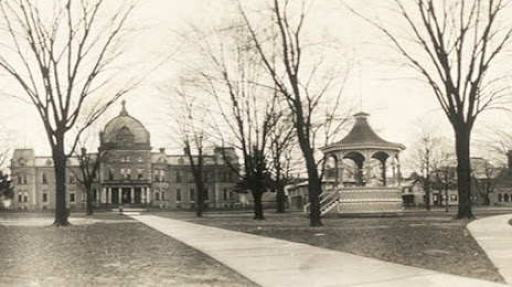
Photo
Where is located Crawford County Historical Society
Crawford County Historical Society — local attraction, which is located at 869 Diamond Park Square, Meadville, PA 16335, United States and belongs to the category — non-profit organization. Average visitor rating for this place — 5.0 (according to 2 ratings, information from open sources and relevant for 2022).
Exact location — Crawford County Historical Society, marked on the map with a red marker.
You can get directions to Crawford County Historical Society on the map from your location.
What else is interesting in Meadville? You can see all the sights if you go to the city page.
Coordinates
Crawford County Historical Society, United States coordinates in decimal format: latitude — 41.639089397615685, longitude — -80.14902267501692. When converted to degrees, minutes, seconds Crawford County Historical Society has the following coordinates: 41°38′20.72 north latitude and -80°8′56.48 east longitude.
Nearby cities
The largest cities that are located nearby:
- Aurora — 105 km
- Cleveland — 129 km
- Akron — 130 km
- Pittsburgh — 133 km
- Boston — 159 km
- Buffalo — 172 km
- London
 (Canada) — 173 km
 - Hamilton (Canada) — 179 km
- Saint Catharines (Canada) — 183 km
- Amherst — 184 km
- Burlington (Canada) — 188 km
- Cambridge (Canada) — 191 km
- Kitchener (Canada) — 198 km
- Waterloo (Canada) — 204 km
- Oakville (Canada) — 205 km
- Guelph (Canada) — 211 km
- Mississauga (Canada) — 219 km
- Toronto (Canada) — 231 km
- Brampton (Canada) — 233 km
Distance to the capital
Distance to the capital (Washington) is about — 403 km.