 Warner Robins
Wantagh
Bethel
Misty Hill Farm
United States
Wakonda Beach (R33) Airport
Wilmington
Poland
Miami International Airport
Warner Robins
Wantagh
Bethel
Misty Hill Farm
United States
Wakonda Beach (R33) Airport
Wilmington
Poland
Miami International Airport
Maynard "Red" Aurand Memorial Park on the map, New Baltimore, United States
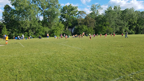
Photo
Where is located Maynard "Red" Aurand Memorial Park
Maynard "Red" Aurand Memorial Park — local attraction, which is located at 52915 Huntley Ave, New Baltimore, MI 48047, United States and belongs to the category — park. Average visitor rating for this place — 4.4 (according to 131 rating, information from open sources and relevant for 2022).
Exact location — Maynard "Red" Aurand Memorial Park, marked on the map with a red marker.
You can get directions to Maynard "Red" Aurand Memorial Park on the map from your location.
What else is interesting in New Baltimore? You can see all the sights if you go to the city page.
Coordinates
Maynard "Red" Aurand Memorial Park, United States coordinates in decimal format: latitude — 42.68954069169869, longitude — -82.75818737498383. When converted to degrees, minutes, seconds Maynard "Red" Aurand Memorial Park has the following coordinates: 42°41′22.35 north latitude and -82°45′29.47 east longitude.
Nearby cities
The largest cities that are located nearby:
- Sterling Heights — 26 km
- Warren — 29 km
- Detroit — 46 km
- Windsor
 (Canada) — 47 km
 - Flint — 85 km
- Ann Arbor — 93 km
- London (Canada) — 125 km
- Toledo — 131 km
- Lansing — 148 km
- Cleveland — 157 km
- Aurora — 190 km
- Waterloo (Canada) — 198 km
- Kitchener (Canada) — 199 km
- Akron — 204 km
- Cambridge (Canada) — 209 km
- Guelph (Canada) — 221 km
- Grand Rapids — 239 km
- Hamilton (Canada) — 240 km
- Burlington (Canada) — 247 km
Distance to the capital
Distance to the capital (Washington) is about — 639 km.