 Warner Robins
Wantagh
Bethel
Misty Hill Farm
United States
Wakonda Beach (R33) Airport
Wilmington
Poland
Miami International Airport
Warner Robins
Wantagh
Bethel
Misty Hill Farm
United States
Wakonda Beach (R33) Airport
Wilmington
Poland
Miami International Airport
Fred Marquis Pinellas Trail on the map, Palm Harbor, United States
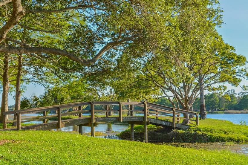
Photo
Where is located Fred Marquis Pinellas Trail
Fred Marquis Pinellas Trail — local attraction, which is located at 45 mi (72 km) and belongs to the category — -. Average visitor rating for this place — - (according to 0 ratings, information from open sources and relevant for 2022).
Exact location — Fred Marquis Pinellas Trail, marked on the map with a red marker.
You can get directions to Fred Marquis Pinellas Trail on the map from your location.
What else is interesting in Palm Harbor? You can see all the sights if you go to the city page.
Coordinates
Fred Marquis Pinellas Trail, United States coordinates in decimal format: latitude — 28.08686748855906, longitude — -82.76911987538013. When converted to degrees, minutes, seconds Fred Marquis Pinellas Trail has the following coordinates: 28°5′12.72 north latitude and -82°46′8.83 east longitude.
Nearby cities
The largest cities that are located nearby:
- Clearwater — 13 km
- Tampa — 33 km
- Saint Petersburg — 36 km
- Brandon — 49 km
- Orlando — 144 km
- Gainesville — 179 km
- Cape Coral — 186 km
- Port Saint Lucie — 253 km
- Jacksonville — 271 km
- Tallahassee — 298 km
- Coral Springs — 318 km
- Pembroke Pines — 335 km
- Miramar — 337 km
- Fort Lauderdale — 339 km
- Hollywood — 346 km
- Hialeah — 348 km
- Miami — 362 km
- Savannah — 469 km
- Havana
 (Cuba) — 546 km
Distance to the capital
Distance to the capital (Washington) is about — 1315 km.