 Warner Robins
Wantagh
Bethel
Misty Hill Farm
United States
Wakonda Beach (R33) Airport
Wilmington
Poland
Miami International Airport
Warner Robins
Wantagh
Bethel
Misty Hill Farm
United States
Wakonda Beach (R33) Airport
Wilmington
Poland
Miami International Airport
Cape Arundel Golf Club on the map, Kennebunk, United States
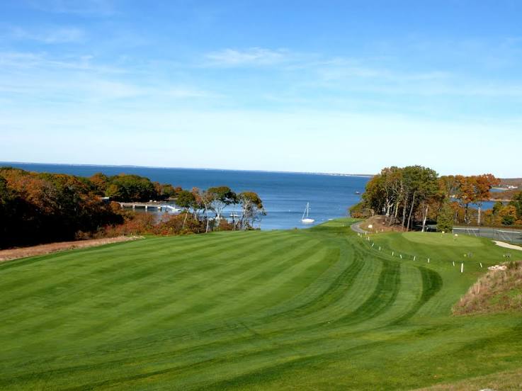
Photo
Where is located Cape Arundel Golf Club
Cape Arundel Golf Club — local attraction, which is located at 19 River Rd, Kennebunkport, ME 04046, United States and belongs to the category — golf club. Average visitor rating for this place — 4.6 (according to 28 ratings, information from open sources and relevant for 2022).
Exact location — Cape Arundel Golf Club, marked on the map with a red marker.
You can get directions to Cape Arundel Golf Club on the map from your location.
What else is interesting in Kennebunk? You can see all the sights if you go to the city page.
Coordinates
Cape Arundel Golf Club, United States coordinates in decimal format: latitude — 43.37603083111563, longitude — -70.48473715383285. When converted to degrees, minutes, seconds Cape Arundel Golf Club has the following coordinates: 43°22′33.71 north latitude and -70°29′5.05 east longitude.
Nearby cities
The largest cities that are located nearby:
- Manchester — 85 km
- Lowell — 104 km
- Boston — 121 km
- Cambridge — 121 km
- Worcester — 161 km
- Providence — 187 km
- Amherst — 197 km
- Springfield — 220 km
- Sherbrooke
 (Canada) — 246 km
 - Hartford — 252 km
- Waterbury — 289 km
- New Haven — 303 km
- Bridgeport — 328 km
- Longueuil (Canada) — 331 km
- Montreal (Canada) — 331 km
- Laval (Canada) — 347 km
- Stamford — 359 km
- Trois-Rivières (Canada) — 361 km
- Levis (Canada) — 375 km
Distance to the capital
Distance to the capital (Washington) is about — 740 km.