 Warner Robins
Wantagh
Bethel
Misty Hill Farm
United States
Wakonda Beach (R33) Airport
Wilmington
Poland
Miami International Airport
Warner Robins
Wantagh
Bethel
Misty Hill Farm
United States
Wakonda Beach (R33) Airport
Wilmington
Poland
Miami International Airport
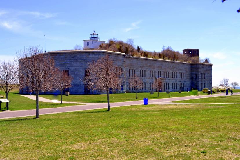
Fort Rodman on the map, New Bedford, United States
Photo
Where is located Fort Rodman
Fort Rodman — local attraction, which is located at 1000 Rodney French Blvd, New Bedford, MA 02744, United States and belongs to the category — fort. Average visitor rating for this place — 4.6 (according to 311 ratings, information from open sources and relevant for 2022).
Exact location — Fort Rodman, marked on the map with a red marker.
You can get directions to Fort Rodman on the map from your location.
What else is interesting in New Bedford? You can see all the sights if you go to the city page.
Coordinates
Fort Rodman, United States coordinates in decimal format: latitude — 41.59398297237643, longitude — -70.90199282501834. When converted to degrees, minutes, seconds Fort Rodman has the following coordinates: 41°35′38.34 north latitude and -70°54′7.17 east longitude.
Nearby cities
The largest cities that are located nearby:
- Providence — 45 km
- Boston — 81 km
- Cambridge — 83 km
- Worcester — 99 km
- Lowell — 115 km
- Hartford — 145 km
- Springfield — 145 km
- Amherst — 150 km
- Manchester — 156 km
- New Haven — 170 km
- Waterbury — 175 km
- Bridgeport — 195 km
- Stamford — 227 km
- Yonkers — 260 km
- Brooklyn — 277 km
- New York — 277 km
- Paterson — 282 km
- Newark — 289 km
- Elizabeth — 295 km
Distance to the capital
Distance to the capital (Washington) is about — 600 km.