
 Tulling
Cochem
Heidenfeld
Hettstedt
Wackersdorf
Schömberg
Hackenheim
Baunatal
Hanstedt
Burscheid
Offingen
Gilching
Geldern
Langenselbold
Gingen an der Fils
Adelsried
Leichlingen
Giesen
Piesteritz
Tulling
Cochem
Heidenfeld
Hettstedt
Wackersdorf
Schömberg
Hackenheim
Baunatal
Hanstedt
Burscheid
Offingen
Gilching
Geldern
Langenselbold
Gingen an der Fils
Adelsried
Leichlingen
Giesen
Piesteritz
Gerlingen on the map, Germany
Where is located Gerlingen
Exact location — Gerlingen, Stuttgart, Baden-Württemberg, Germany, marked on the map with a red marker.
Coordinates
Gerlingen, Germany coordinates in decimal format: latitude — 48.7989751, longitude — 9.0657713. When converted to degrees, minutes, seconds Gerlingen has the following coordinates: 48°47′56.31 north latitude and 9°3′56.78 east longitude.
Population
Gerlingen, Stuttgart, Baden-Württemberg, Germany, according to our data the population is — 18,977 residents, which is about 0% of the total population of the country (Germany).
Comparison of the population on the graph:
Exact time
Time zone for this location Gerlingen — UTC +2 Europe/Berlin. Exact time — thursday, 5 may 2024 year, 15 h. 46 minutes.
Sunrise and sunset
Gerlingen, sunrise and sunset data for a date — thursday 9.05.2024.
| Sunrise | Sunset | Day (duration) |
|---|---|---|
| 05:53 -2 minutes | 20:46 +1 minute | 14 h. 54 minutes. +3 minutes |
You can control the scale of the map using the auxiliary tools to find out exactly where it is located Gerlingen. When you change the scale of the map, the width of the ruler also changes (in kilometers and miles).
Nearby cities
The largest cities that are located nearby:
- Stuttgart — 9 km
- Pforzheim — 29 km
- Reutlingen — 34 km
- Heilbronn — 39 km
- Karlsruhe — 53 km
- Heidelberg — 72 km
- Ulm — 81 km
- Ludwigshafen — 87 km
- Mannheim — 87 km
- Strasbourg
 (France) — 99 km
 - Darmstadt — 122 km
- Freiburg — 127 km
- Würzburg — 127 km
- Augsburg — 143 km
- Mainz — 144 km
- Offenbach — 145 km
- Frankfurt — 148 km
- Wiesbaden — 153 km
- Saarbrücken — 157 km
Distance to neighboring capitals:
- Vaduz
 (Liechtenstein) — 187 km
 - Bern
 (Switzerland) — 239 km
 - Brussels
 (Belgium) — 408 km
 - Prague
 (Czech Republic) — 414 km
 - Paris (France) — 491 km
- Paris (France) — 491 km
- Amsterdam
 (Netherlands) — 494 km
 - Ljubljana
 (Slovenia) — 510 km
 - Vienna
 (Austria) — 542 km
 - Copenhagen
 (Denmark) — 801 km
 - Rome
 (Italy) — 812 km
 - Warsaw
 (Poland) — 926 km
 - Oslo
 (Norway) — 1241 km
 - Stockholm
 (Sweden) — 1302 km
 - Minsk
 (Belarus) — 1399 km
 - Kyiv
 (Ukraine) — 1551 km
 - Helsinki
 (Finland) — 1620 km
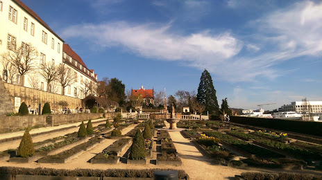
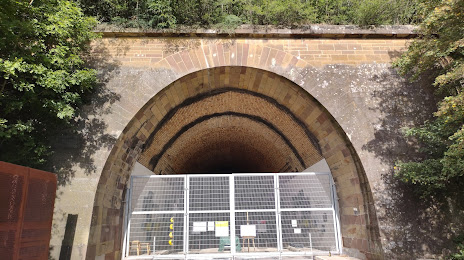
Attractions

Distance to the capital
Distance to the capital (Berlin) is about — 514 km.