 Warner Robins
Wantagh
Bethel
Misty Hill Farm
United States
Wakonda Beach (R33) Airport
Wilmington
Poland
Miami International Airport
Warner Robins
Wantagh
Bethel
Misty Hill Farm
United States
Wakonda Beach (R33) Airport
Wilmington
Poland
Miami International Airport
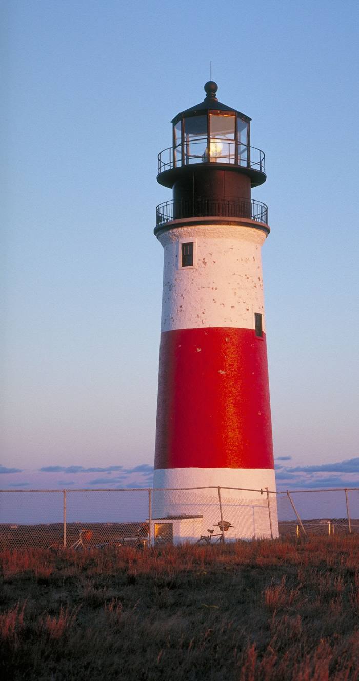
Sankaty Head Light on the map, Nantucket, United States
Photo
Where is located Sankaty Head Light
Sankaty Head Light — local attraction, which is located at USA, Baxter Rd, Nantucket, MA 02554, United States and belongs to the category — lighthouse. Average visitor rating for this place — 4.8 (according to 144 ratings, information from open sources and relevant for 2022).
Exact location — Sankaty Head Light, marked on the map with a red marker.
You can get directions to Sankaty Head Light on the map from your location.
What else is interesting in Nantucket? You can see all the sights if you go to the city page.
Coordinates
Sankaty Head Light, United States coordinates in decimal format: latitude — 41.284361399734884, longitude — -69.96629227502801. When converted to degrees, minutes, seconds Sankaty Head Light has the following coordinates: 41°17′3.7 north latitude and -69°57′58.65 east longitude.
Nearby cities
The largest cities that are located nearby:
- Providence — 124 km
- Boston — 143 km
- Cambridge — 146 km
- Worcester — 176 km
- Lowell — 179 km
- Manchester — 219 km
- Hartford — 220 km
- Springfield — 223 km
- Amherst — 228 km
- New Haven — 235 km
- Waterbury — 246 km
- Bridgeport — 258 km
- Stamford — 288 km
- Yonkers — 320 km
- Brooklyn — 333 km
- New York — 333 km
- Paterson — 343 km
- Newark — 347 km
- Elizabeth — 352 km
Distance to the capital
Distance to the capital (Washington) is about — 657 km.