 Warner Robins
Wantagh
Bethel
Misty Hill Farm
United States
Wakonda Beach (R33) Airport
Wilmington
Poland
Miami International Airport
Warner Robins
Wantagh
Bethel
Misty Hill Farm
United States
Wakonda Beach (R33) Airport
Wilmington
Poland
Miami International Airport
Lake Pueblo State Park on the map, Pueblo, United States
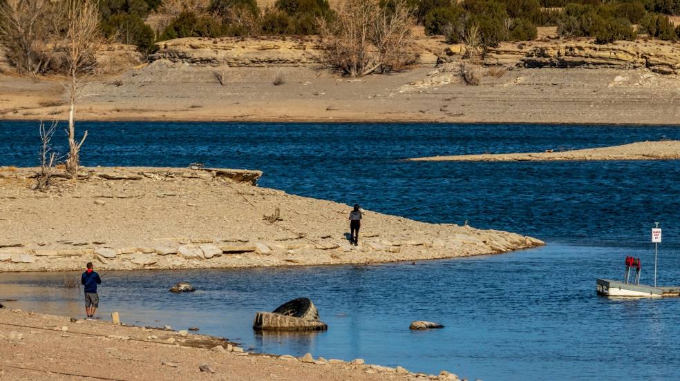
Photo
Where is located Lake Pueblo State Park
Lake Pueblo State Park — local attraction, which is located at 640 Pueblo Reservoir Road, Pueblo, CO 81005, United States and belongs to the category — state park. Average visitor rating for this place — 4.6 (according to 3248 ratings, information from open sources and relevant for 2022).
Exact location — Lake Pueblo State Park, marked on the map with a red marker.
You can get directions to Lake Pueblo State Park on the map from your location.
What else is interesting in Pueblo? You can see all the sights if you go to the city page.
Coordinates
Lake Pueblo State Park, United States coordinates in decimal format: latitude — 38.260317570152914, longitude — -104.7525336751189. When converted to degrees, minutes, seconds Lake Pueblo State Park has the following coordinates: 38°15′37.14 north latitude and -104°45′9.12 east longitude.
Nearby cities
The largest cities that are located nearby:
- Colorado Springs — 67 km
- Aurora — 164 km
- Lakewood — 165 km
- Denver — 167 km
- Arvada — 176 km
- Westminster — 179 km
- Thornton — 181 km
- Fort Collins — 261 km
- Albuquerque — 394 km
- Amarillo — 419 km
- Valencia — 427 km
- Lubbock — 576 km
- Provo — 634 km
- Wichita — 639 km
- West Jordan — 668 km
- Salt Lake City — 670 km
- West Valley City — 676 km
- Oklahoma City — 709 km
- Lincoln — 721 km
Distance to the capital
Distance to the capital (Washington) is about — 2402 km.