 Warner Robins
Wantagh
Bethel
Misty Hill Farm
United States
Wakonda Beach (R33) Airport
Wilmington
Poland
Miami International Airport
Warner Robins
Wantagh
Bethel
Misty Hill Farm
United States
Wakonda Beach (R33) Airport
Wilmington
Poland
Miami International Airport
Cherry Grove Fishing Pier on the map, North Myrtle Beach, United States
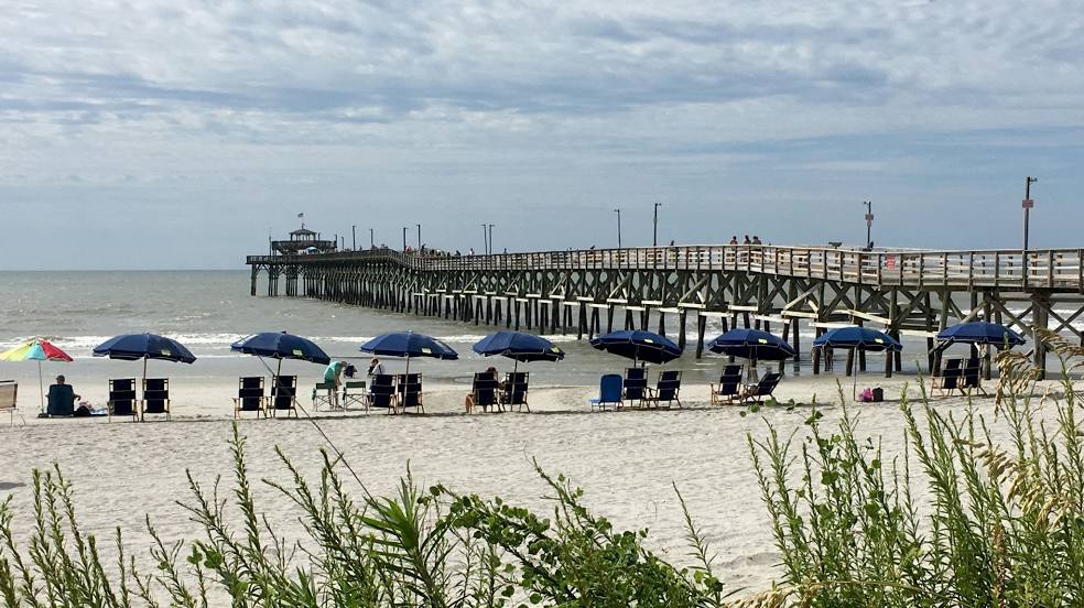
Photo
Where is located Cherry Grove Fishing Pier
Cherry Grove Fishing Pier — local attraction, which is located at 3500 N Ocean Blvd, North Myrtle Beach, SC 29582, United States and belongs to the category — fishing pier. Average visitor rating for this place — 4.5 (according to 2139 ratings, information from open sources and relevant for 2022).
Exact location — Cherry Grove Fishing Pier, marked on the map with a red marker.
You can get directions to Cherry Grove Fishing Pier on the map from your location.
What else is interesting in North Myrtle Beach? You can see all the sights if you go to the city page.
Coordinates
Cherry Grove Fishing Pier, United States coordinates in decimal format: latitude — 33.82989907496546, longitude — -78.63337477524142. When converted to degrees, minutes, seconds Cherry Grove Fishing Pier has the following coordinates: 33°49′47.64 north latitude and -78°38′0.15 east longitude.
Nearby cities
The largest cities that are located nearby:
- Fayetteville — 138 km
- Charleston — 164 km
- Columbia — 217 km
- Raleigh — 217 km
- Cary — 219 km
- Durham — 242 km
- Charlotte — 250 km
- Greensboro — 269 km
- Winston-Salem — 289 km
- Savannah — 297 km
- Chesapeake — 389 km
- Norfolk — 397 km
- Hampton — 411 km
- Virginia Beach — 412 km
- Richmond — 426 km
- Jacksonville — 479 km
- Atlanta — 525 km
- Knoxville — 526 km
- Alexandria — 569 km
Distance to the capital
Distance to the capital (Washington) is about — 583 km.