
 Maastricht
Wassenaar
Barneveld
Haarlem
Naarden
Egmond aan Zee
Emmeloord
Berg en Terblijt
Enschede
Deventer
Annen
Asten
Maastricht
Wassenaar
Barneveld
Haarlem
Naarden
Egmond aan Zee
Emmeloord
Berg en Terblijt
Enschede
Deventer
Annen
Asten
Amersfoort on the map, Netherlands
Where is located Amersfoort
Exact location — Amersfoort, Amersfoort, Utrecht, Netherlands, marked on the map with a red marker.
Coordinates
Amersfoort, Netherlands coordinates in decimal format: latitude — 52.1561113, longitude — 5.3878266. When converted to degrees, minutes, seconds Amersfoort has the following coordinates: 52°9′22 north latitude and 5°23′16.18 east longitude.
Population
Amersfoort, Amersfoort, Utrecht, Netherlands, according to our data the population is — 139,208 residents, which is about 0.8% of the total population of the country (Netherlands).
Comparison of the population on the graph:
Exact time
Time zone for this location Amersfoort — UTC +2 Europe/Amsterdam. Exact time — sunday, 5 may 2024 year, 15 h. 30 minutes.
Sunrise and sunset
Amersfoort, sunrise and sunset data for a date — sunday 19.05.2024.
| Sunrise | Sunset | Day (duration) |
|---|---|---|
| 05:41 -1 minute | 21:28 +2 minutes | 15 h. 48 minutes. +3 minutes |
You can control the scale of the map using the auxiliary tools to find out exactly where it is located Amersfoort. When you change the scale of the map, the width of the ruler also changes (in kilometers and miles).
Nearby cities
The largest cities that are located nearby:
- Utrecht — 19 km
- Ede — 23 km
- Almere — 23 km
- Arnhem — 40 km
- Apeldoorn — 40 km
- Nijmegen — 49 km
- Hoofddorp — 50 km
- 's-Hertogenbosch — 51 km
- Haarlem — 56 km
- Leiden — 60 km
- Dordrecht — 61 km
- Zwolle — 61 km
- Zoetermeer — 62 km
- Rotterdam — 67 km
- Tilburg — 69 km
- The Hague — 74 km
- Breda — 76 km
- Eindhoven — 79 km
- Enschede — 102 km
Distance to neighboring capitals:
- Brussels
 (Belgium) — 162 km
 - Paris
 (France) — 425 km
 - Berlin
 (Germany) — 546 km
 - Bern
 (Switzerland) — 598 km
 - Copenhagen
 (Denmark) — 611 km
 - Prague
 (Czech Republic) — 672 km
 - Vienna
 (Austria) — 896 km
 - Warsaw
 (Poland) — 1063 km
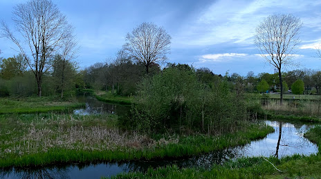
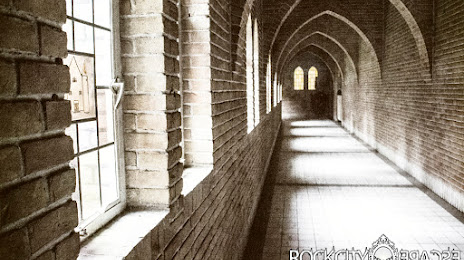
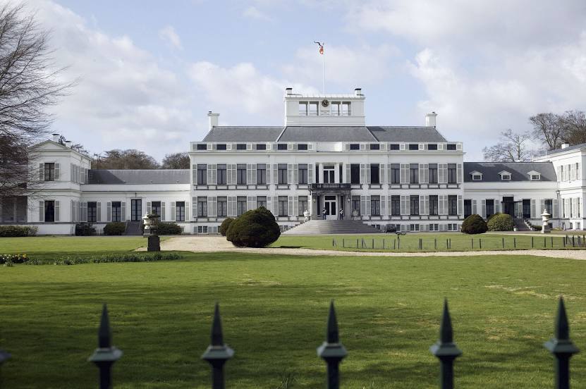
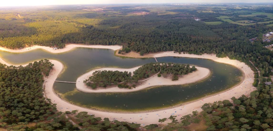
Attractions


Distance to the capital
Distance to the capital (Amsterdam) is about — 41 km.