
 Breda
Hengelo
Almelo
Haaksbergen
Venlo
Kampen
Lunteren
Kerkrade
Etten
Naarden
Haarlem
Barneveld
Wassenaar
Maastricht
Valkenswaard
Apeldoorn
Amstelveen
Bladel
Zoetermeer
Breda
Hengelo
Almelo
Haaksbergen
Venlo
Kampen
Lunteren
Kerkrade
Etten
Naarden
Haarlem
Barneveld
Wassenaar
Maastricht
Valkenswaard
Apeldoorn
Amstelveen
Bladel
Zoetermeer
Putten on the map, Netherlands
Where is located Putten
Exact location — Putten, Putten, Gelderland, Netherlands, marked on the map with a red marker.
Coordinates
Putten, Netherlands coordinates in decimal format: latitude — 52.258676, longitude — 5.6053727. When converted to degrees, minutes, seconds Putten has the following coordinates: 52°15′31.23 north latitude and 5°36′19.34 east longitude.
Population
Putten, Putten, Gelderland, Netherlands, according to our data the population is — 23,832 residents, which is about 0.1% of the total population of the country (Netherlands).
Comparison of the population on the graph:
Exact time
Time zone for this location Putten — UTC +2 Europe/Amsterdam. Exact time — tuesday, 6 june 2024 year, 17 h. 16 minutes.
Sunrise and sunset
Putten, sunrise and sunset data for a date — tuesday 11.06.2024.
| Sunrise | Sunset | Day (duration) |
|---|---|---|
| 05:21 -0 minutes | 21:53 +1 minute | 16 h. 30 minutes. +1 minute |
You can control the scale of the map using the auxiliary tools to find out exactly where it is located Putten. When you change the scale of the map, the width of the ruler also changes (in kilometers and miles).
Nearby cities
The largest cities that are located nearby:
- Amersfoort — 19 km
- Ede — 24 km
- Almere — 25 km
- Apeldoorn — 25 km
- Arnhem — 36 km
- Utrecht — 38 km
- Zwolle — 43 km
- Nijmegen — 52 km
- Hoofddorp — 62 km
- 's-Hertogenbosch — 65 km
- Haarlem — 66 km
- Leiden — 76 km
- Zoetermeer — 79 km
- Dordrecht — 80 km
- Tilburg — 85 km
- Rotterdam — 85 km
- Enschede — 87 km
- Eindhoven — 91 km
- The Hague — 91 km
Distance to neighboring capitals:
- Brussels
 (Belgium) — 179 km
 - Paris
 (France) — 443 km
 - Berlin
 (Germany) — 530 km
 - Copenhagen
 (Denmark) — 593 km
 - Bern
 (Switzerland) — 605 km
 - Prague
 (Czech Republic) — 662 km
 - Vienna
 (Austria) — 887 km
 - Warsaw
 (Poland) — 1047 km
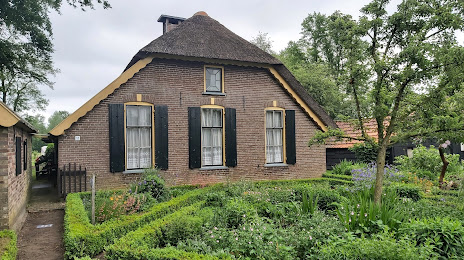
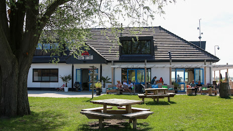
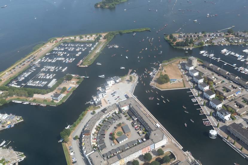
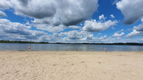
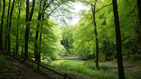
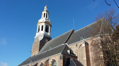
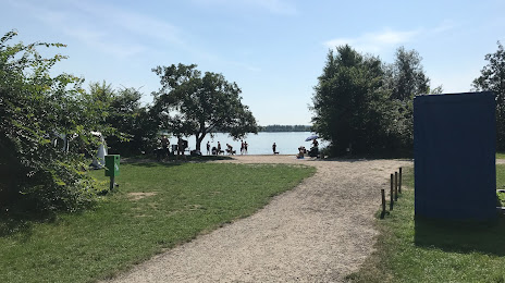
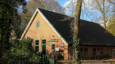
Attractions


Distance to the capital
Distance to the capital (Amsterdam) is about — 50 km.