
 Maureville
Samoëns
Gréning
Toulouse
Volx
Goudet
Méhoncourt
Saint-Hymer
Pontcarré
Maureville
Samoëns
Gréning
Toulouse
Volx
Goudet
Méhoncourt
Saint-Hymer
Pontcarré
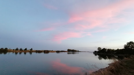
Plan d'eau des Guifettes on the map, Luçon, France
Photo
Where is located Plan d'eau des Guifettes
Plan d'eau des Guifettes — local attraction, which is located at no data and belongs to the category — -. Average visitor rating for this place — 4.1 (according to 31 rating, information from open sources and relevant for 2022).
Exact location — Plan d'eau des Guifettes, marked on the map with a red marker.
You can get directions to Plan d'eau des Guifettes on the map from your location.
What else is interesting in Luçon? You can see all the sights if you go to the city page.
Coordinates
Plan d'eau des Guifettes, France coordinates in decimal format: latitude — 46.42899631854768, longitude — -1.1851724720516055. When converted to degrees, minutes, seconds Plan d'eau des Guifettes has the following coordinates: 46°25′44.39 north latitude and -1°11′6.62 east longitude.
Nearby cities
The largest cities that are located nearby:
- Nantes — 89 km
- Angers — 122 km
- Tours — 173 km
- Bordeaux — 185 km
- Rennes — 188 km
- Le Mans — 199 km
- Limoges — 199 km
- Orléans — 279 km
- Caen — 307 km
- Brest — 324 km
- Clermont-Ferrand — 336 km
- Le Havre — 348 km
- San Sebastián
 (Spain) — 353 km
 - Boulogne-Billancourt — 362 km
- Rouen — 368 km
- Toulouse — 378 km
- Bilbao (Spain) — 381 km
- Santander (Spain) — 393 km
- Pamplona (Spain) — 405 km
Distance to the capital
Distance to the capital (Paris) is about — 378 km.