
 Schönborn
Osterhofen
Ahaus
Breisach
Schelklingen
Burgsalach
Haldensleben
Regen
Buchloe
Schönberg
Kaltenkirchen
Weismain
Stockheim
Königsdorf
Dreisbach
Gochsheim
Böhmenkirch
Ehringshausen
Oberrot
Schönborn
Osterhofen
Ahaus
Breisach
Schelklingen
Burgsalach
Haldensleben
Regen
Buchloe
Schönberg
Kaltenkirchen
Weismain
Stockheim
Königsdorf
Dreisbach
Gochsheim
Böhmenkirch
Ehringshausen
Oberrot
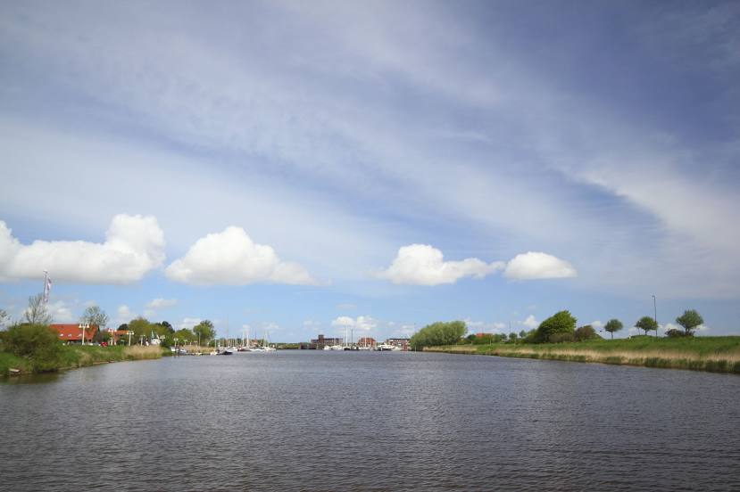
Wittmund on the map, Germany
Where is located Wittmund
Exact location — Wittmund, Lower Saxony, Germany, marked on the map with a red marker.
Coordinates
Wittmund, Germany coordinates in decimal format: latitude — 53.5766311, longitude — 7.773289. When converted to degrees, minutes, seconds Wittmund has the following coordinates: 53°34′35.87 north latitude and 7°46′23.84 east longitude.
Population
Wittmund, Lower Saxony, Germany, according to our data the population is — 21,417 residents, which is about 0% of the total population of the country (Germany).
Comparison of the population on the graph:
Exact time
Time zone for this location Wittmund — UTC +2 Europe/Berlin. Exact time — friday, 5 may 2024 year, 21 h. 51 minute.
Sunrise and sunset
Wittmund, sunrise and sunset data for a date — friday 3.05.2024.
| Sunrise | Sunset | Day (duration) |
|---|---|---|
| 05:52 -2 minutes | 20:58 +2 minutes | 15 h. 6 minutes. +4 minutes |
You can control the scale of the map using the auxiliary tools to find out exactly where it is located Wittmund. When you change the scale of the map, the width of the ruler also changes (in kilometers and miles).
Nearby cities
The largest cities that are located nearby:
- Bremerhaven — 53 km
- Bremen — 88 km
- Groningen
 (Netherlands) — 89 km
 - Emmen (Netherlands) — 105 km
- Osnabrück — 145 km
- Enschede (Netherlands) — 161 km
- Zwolle (Netherlands) — 163 km
- Kiel — 173 km
- Bielefeld — 179 km
- Münster — 179 km
- Hanover — 187 km
- Apeldoorn (Netherlands) — 194 km
- Hamm — 210 km
- Hildesheim — 216 km
- Paderborn — 216 km
- Almere (Netherlands) — 217 km
- Arnhem (Netherlands) — 217 km
- Recklinghausen — 221 km
- Ede (Netherlands) — 222 km
Distance to neighboring capitals:
- Amsterdam (Netherlands) — 235 km
- Brussels
 (Belgium) — 382 km
 - Copenhagen
 (Denmark) — 387 km
 - Prague
 (Czech Republic) — 601 km
 - Paris
 (France) — 646 km
 - Paris (France) — 646 km
- Vaduz
 (Liechtenstein) — 726 km
 - Oslo
 (Norway) — 728 km
 - Bern
 (Switzerland) — 738 km
 - Vienna
 (Austria) — 848 km
 - Stockholm
 (Sweden) — 892 km
 - Warsaw
 (Poland) — 899 km
 - Ljubljana
 (Slovenia) — 965 km
 - Helsinki
 (Finland) — 1270 km
 - Minsk
 (Belarus) — 1298 km
 - Rome
 (Italy) — 1345 km
 - Kyiv
 (Ukraine) — 1588 km
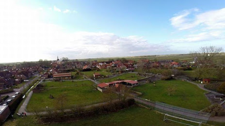
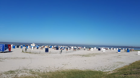
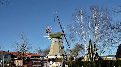
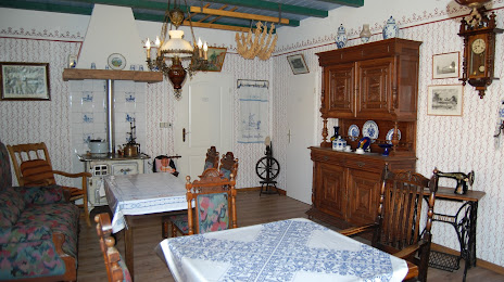
Attractions
Distance to the capital
Distance to the capital (Berlin) is about — 394 km.