
 Maureville
Samoëns
Gréning
Toulouse
Volx
Goudet
Méhoncourt
Saint-Hymer
Pontcarré
Maureville
Samoëns
Gréning
Toulouse
Volx
Goudet
Méhoncourt
Saint-Hymer
Pontcarré
Boulevard des Pyrénées on the map, Billère, France
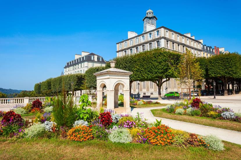
Photo
Where is located Boulevard des Pyrénées
Boulevard des Pyrénées — local attraction, which is located at no data and belongs to the category — -. Average visitor rating for this place — - (according to 0 ratings, information from open sources and relevant for 2022).
Exact location — Boulevard des Pyrénées, marked on the map with a red marker.
You can get directions to Boulevard des Pyrénées on the map from your location.
What else is interesting in Billère? You can see all the sights if you go to the city page.
Coordinates
Boulevard des Pyrénées, France coordinates in decimal format: latitude — 43.29329963857853, longitude — -0.36921317496448197. When converted to degrees, minutes, seconds Boulevard des Pyrénées has the following coordinates: 43°17′35.88 north latitude and -0°22′9.17 east longitude.
Nearby cities
The largest cities that are located nearby:
- Pamplona
 (Spain) — 115 km
 - San Sebastián (Spain) — 127 km
- Toulouse — 151 km
- Bordeaux — 170 km
- Zaragoza (Spain) — 187 km
- Logroño (Spain) — 191 km
- Vitoria-Gasteiz (Spain) — 192 km
- Lleida (Spain) — 204 km
- Bilbao (Spain) — 204 km
- Santander (Spain) — 274 km
- Perpignan — 276 km
- Terrassa (Spain) — 277 km
- Tarragona (Spain) — 277 km
- Sabadell (Spain) — 284 km
- Burgos (Spain) — 290 km
- Santa Coloma de Gramenet (Spain) — 298 km
- L'Hospitalet de Llobregat (Spain) — 299 km
- Badalona (Spain) — 300 km
- Mataró (Spain) — 306 km
Distance to the capital
Distance to the capital (Paris) is about — 653 km.