 Warner Robins
Wantagh
Bethel
Misty Hill Farm
United States
Wakonda Beach (R33) Airport
Wilmington
Poland
Miami International Airport
Warner Robins
Wantagh
Bethel
Misty Hill Farm
United States
Wakonda Beach (R33) Airport
Wilmington
Poland
Miami International Airport
Great Salt Lake State Park on the map, Magna, United States
Photo
Where is located Great Salt Lake State Park
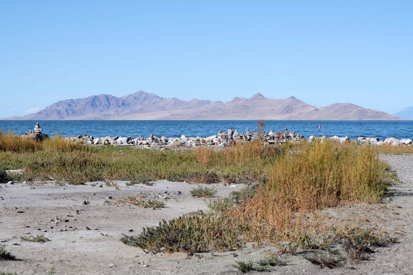
Great Salt Lake State Park — local attraction, which is located at 13312 West 1075 South, Magna, UT 84044, United States and belongs to the category — state park. Average visitor rating for this place — 4.2 (according to 2545 ratings, information from open sources and relevant for 2022).
Exact location — Great Salt Lake State Park, marked on the map with a red marker.
You can get directions to Great Salt Lake State Park on the map from your location.
What else is interesting in Magna? You can see all the sights if you go to the city page.
Coordinates
Great Salt Lake State Park, United States coordinates in decimal format: latitude — 40.7336490952907, longitude — -112.21088897504494. When converted to degrees, minutes, seconds Great Salt Lake State Park has the following coordinates: 40°44′1.14 north latitude and -112°12′39.2 east longitude.
Nearby cities
The largest cities that are located nearby:
- West Valley City — 9 km
- West Jordan — 18 km
- Salt Lake City — 19 km
- Provo — 65 km
- Boise — 460 km
- North Las Vegas — 567 km
- Las Vegas — 570 km
- Henderson — 577 km
- Spring Valley — 581 km
- Fort Collins — 589 km
- Arvada — 604 km
- Lakewood — 607 km
- Westminster — 608 km
- Thornton — 612 km
- Denver — 614 km
- Aurora — 628 km
- Colorado Springs — 660 km
- Reno — 670 km
- Pueblo — 705 km
Distance to the capital
Distance to the capital (Washington) is about — 2992 km.