Huacho
Pisco
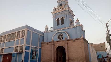
Moquegua
Tarapoto
Tumbes
Talara
Moyobamba
Chachapoyas
La Oroya
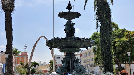
Arequipa
Lima
Huacho
Pisco
Moquegua
Tarapoto
Tumbes
Talara
Moyobamba
Chachapoyas
La Oroya
Arequipa
Lima
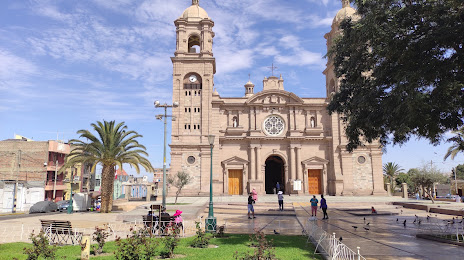
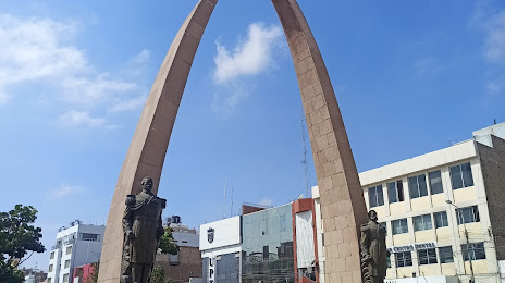
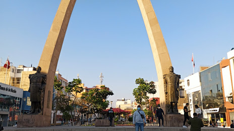
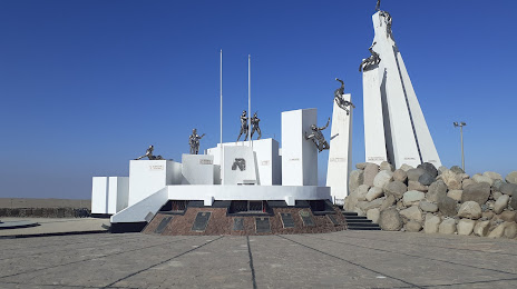
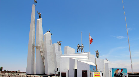
Tacna on the map, Peru
Where is located Tacna
Exact location — Tacna, Tacna, Tacna, Peru, marked on the map with a red marker.
Coordinates
Tacna, Peru coordinates in decimal format: latitude — -18.0065679, longitude — -70.2462741. When converted to degrees, minutes, seconds Tacna has the following coordinates: -18°0′23.64 north latitude and -70°14′46.59 east longitude.
Population
Tacna, Tacna, Tacna, Peru, according to our data the population is — 280,996 residents, which is about 0.9% of the total population of the country (Peru).
Comparison of the population on the graph:
Exact time
Time zone for this location Tacna — UTC -5 America/Lima. Exact time — tuesday, 6 june 2024 year, 08 h. 38 minutes.
Sunrise and sunset
Tacna, sunrise and sunset data for a date — tuesday 11.06.2024.
| Sunrise | Sunset | Day (duration) |
|---|---|---|
| 06:11 -0 minutes | 17:10 +1 minute | 11 h. 0 minutes. +1 minute |
You can control the scale of the map using the auxiliary tools to find out exactly where it is located Tacna. When you change the scale of the map, the width of the ruler also changes (in kilometers and miles).
Nearby cities
The largest cities that are located nearby:
- Arica
 (Chile) — 53 km
 - Arequipa — 223 km
- Fist — 241 km
- Iquique (Chile) — 245 km
- Juliaca — 277 km
- Oruro
 (Bolivia) — 329 km
 - Cochabamba (Bolivia) — 436 km
- Potosi (Bolivia) — 499 km
- Calama (Chile) — 510 km
- Cusco — 528 km
- Sucre (Bolivia) — 533 km
- Antofagasta (Chile) — 624 km
- Ayacucho — 686 km
- Tarija (Bolivia) — 688 km
- Ica — 732 km
- Santa Cruz de la Sierra (Bolivia) — 763 km
- Chincha Alta — 811 km
- San Salvador de Jujuy
 (Argentina) — 846 km
 - Huancayo — 848 km
Distance to neighboring capitals:
- Nuestra Señora de La Paz (Bolivia) — 279 km
- Asuncion
 (Paraguay) — 1537 km
 - Santiago (Chile) — 1717 km
- Quito
 (Ecuador) — 2177 km
 - Buenos Aires (Argentina) — 2188 km
- Montevideo
 (Uruguay) — 2339 km
 - Bogota
 (Colombia) — 2549 km
 - Caracas
 (Venezuela) — 3193 km